 ORMA
along the Via Engiadina above the Inn
A sunny walk on the Via Engiadina from Zernez station along flower meadows above the Inn to the hamlet of Brail, facing the National Park. The board lists 7.5 km, 257 m up and 92 m down, 2 h.
Snow is likely here from December to April.
Estimated from the walk’s high point (1729 m). No tourist board publishes this walk’s season, and every winter is different.
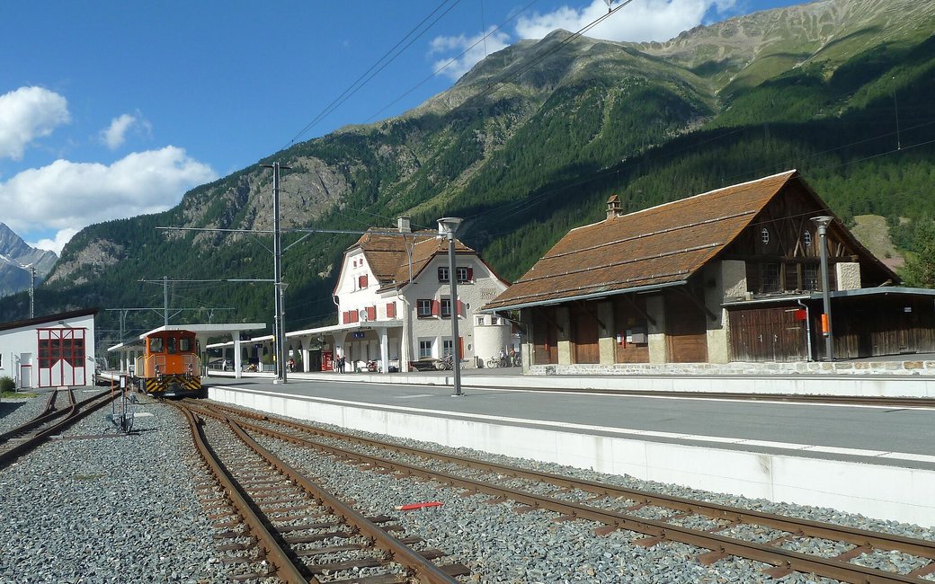
Zernez station, the board’s start
Start: Take the Rhaetian Railway to Zernez and start at the station, the board’s start; there is a fountain by the station.
Route: From the station walk to the campsite and cross the bridge there. After the bridge the sunny path of the Via Engiadina climbs gently along flower meadows above the Inn, past the Ertas signpost at about km 2.1 and the Prazet signpost at about km 4.9, with views across to the National Park on the other side of the valley. The walk ends at the Brail signpost in the hamlet of Brail at km 7.5; take the train back to Zernez from Brail station.
Key turns: Key turns: cross the bridge by the campsite; then stay on the Via Engiadina via Ertas and Prazet to Brail.
Start at Zernez station and walk 7.5 km to Brail, 257 m up and 92 m down, about two hours, then take the train back. Fill up at the fountain by Zernez station: no drinking water is mapped after the start.
The trail rating above describes the mountain, and it's the same for every dog. How it suits yours depends on their build, age and health. See this route's match — scored for a medium dog until you add your own, free and in a minute.
Before you go: the dog safety guide · water for dogs on trail · dogs on cable cars · meeting a guardian dog
