 ORMA
the flat loop along the Schwarzach from St. Jakob in Defereggen
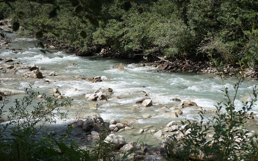
A flat loop along the Schwarzach from St. Jakob in Defereggen, past ponds and springs and boards on the river and the 1966 flood. The board lists 8.7 km and 41 m of ascent.
Snow is possible here from December to February.
Estimated from the walk’s high point (1424 m). No tourist board publishes this walk’s season, and every winter is different.
In winter, 6.5 km of this walk is a cross-country ski track. Expect skiers there while the runs are open, usually from December to April (an estimate).
Read off the map (OpenStreetMap).
the eastern edge of St. Jakob in Defereggen, the board’s start
Directions: From the eastern edge of St. Jakob east along the Schwarzach on the paths of the Wassererlebnisweg past the ponds and springs and back, then west on the farm tracks beside the river below the village to Bad Grünmoos and the Zollwirt, and back along the other bank.
From ORMA's route audit of the official route description. Follow the mapped ORMA line and local signs.
Start at the eastern edge of St. Jakob in Defereggen: 8.7 km and about 41 m of climbing, 2:30 h. Cattle graze on the riverside meadows in summer, so Tyrolean law asks for a short lead there; keep it on for the whole walk. Carry a muzzle for buses and lifts.
The trail rating above describes the mountain, and it's the same for every dog. How it suits yours depends on their build, age and health. See this route's match — scored for a medium dog until you add your own, free and in a minute.
Before you go: the dog safety guide · water for dogs on trail · dogs on cable cars · meeting a guardian dog
