 ORMA
the old-fruit walk from Pieve to Passo Gobbera
A one-way walk along the old Via Nova from Pieve to Passo Gobbera, past more than forty old fruit trees and over a 70 m rope suspension bridge above the Rio San Piero. The APT lists 8 km and 321 m of ascent.
Recommended from March to November.
Source: Outdooractive, read on 6 November 2026.
March to April: pine processionary caterpillars come down from the pines below about 1400 m, and they are a danger to dogs. Keep your dog away from pines and from the caterpillars.
Source: Province of Trento, forestry service, read on 9 November 2026.
March to June: ticks in the woods below about 1200 m, most of all from late May to mid-June. Check your dog after the walk.
Source: Province of Trento and Fondazione Edmund Mach, read on 9 November 2026.
December to February (an estimate): the roads and lanes on this walk may be salted when they ice over. Salt hurts dogs’ paws: check them after the walk and rinse them with warm water.
Source: Province of Bolzano weather service, Bozen station temperatures, read on 10 November 2026. German Federal Chamber of Veterinarians, read on 10 November 2026.
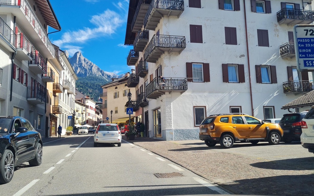
Pieve, by the church of Santa Maria Assunta, the APT’s start
Directions: SAT trail 357 for much of the way: from the church of Santa Maria Assunta in Pieve along Via San Rocco south-west to the Capitello della Peste and the signed start; up the mule track (357) to the Piani di Molaren; following the signs for Passo Gobbera to the road to Camp; across it, the path leads shortly to the rope bridge over the Rio San Piero. Over it, on path and then road to Solàn and the Col dei Fagheri fork; right to Solàn Grant and its great beech, left on a gravel road and a woodland path, across a small valley and up right to the Col dei Betteghe, then down to Passo Gobbera.
From ORMA's route audit of the official route description. Follow the mapped ORMA line and local signs.
Start at Pieve church: 8 km one way, 321 m of climbing, about three hours. It sways and you can see through the floor: some dogs refuse it. Cross slowly with your dog on a short lead, carry a small dog if it hesitates, and be ready to turn back. To come back, walk the same way, take the bus that passes Passo Gobbera, or turn down to Mezzano or Imer on the signed paths. Fountains in Pieve and at points along the way.
The trail rating above describes the mountain, and it's the same for every dog. How it suits yours depends on their build, age and health. See this route's match — scored for a medium dog until you add your own, free and in a minute.
Before you go: the dog safety guide · water for dogs on trail · dogs on cable cars · meeting a guardian dog