 ORMA
Belledonne ridge loop above Arvillard
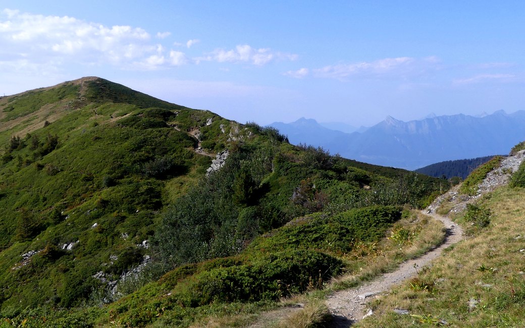
A half-day loop from the old Val Pelouse ski station above Arvillard, through fir wood and rhododendron meadows to the Perrière refuge on the GR738 and the Col de la Perrière, then back along a grassy crest with wide views to Mont Blanc and the Chartreuse. The official page lists 5.7 km, 368 m up and 368 m down, about 2 h 45.
Snow is likely here from November to May.
Estimated from the walk’s high point (2002 m). No tourist board publishes this walk’s season, and every winter is different.
Val Pelouse car park at the end of the D 208, the board’s start
Start at the Val Pelouse car park, at the end of the D 208 above Arvillard, at the old ski station.
Route: Walk up the forest track from the car park and take the path that turns off to the right into the fir wood. Out of the trees, cross the rhododendron meadow to the unstaffed Perrière refuge, where you cross the GR738. Climb more steeply to the Col de la Perrière, then follow the crest path along the ridge and finally join the ski slope down to the car park.
Key turns: Turn right off the forest track onto the path into the firs; at the Col de la Perrière turn onto the crest path; at the end of the crest join the ski slope down.
Drive up the D 208 from Arvillard to the Val Pelouse car park (the road can close for forestry work or snow; the Cœur de Savoie tourist office lists closures): 5.7 km round, 368 m up and down, about 2 h 45. Open June to mid-October.
The trail rating above describes the mountain, and it's the same for every dog. How it suits yours depends on their build, age and health. See this route's match — scored for a medium dog until you add your own, free and in a minute.
Before you go: the dog safety guide · water for dogs on trail · dogs on cable cars · meeting a guardian dog
