ORMA logoORMA
All trails › Dolomites, Italy › Conca di Bolzano

Umser Rundweg, Ums

a loop round the hamlet of Ums below the Schlern
Best time: March to November Caution terrain Verified by ORMA
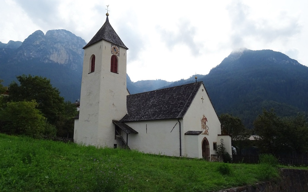
A white village church with a pointed tower and a fresco on its gable above a green meadow, with wooded mountains and grey cliffs behind under a cloudy sky
C
St. Martin’s church by Syrio CC BY-SA 4.0 Cropped for display.

A gentle loop round the hamlet of Ums under the Schlern, past farms, meadows and St. Martin’s church, on the waymarked Umser Rundweg. It is about 3.8 km with some 160 m of up and down, as measured by ORMA (the province register gives only the length).

Distance
3.8 km
Elevation gain
160 m
Highest point
1008 m
Duration
1 h 25 min
Terrain
Farm lanes, gravel tracks and a short path
Trail rating
Caution terrain
Area
Ums / Umes, Völs am Schlern · Dolomites, Italy
Open the full trail guide →
1008 m 849 m 3.8 km
Elevation profile: lowest 849 m, highest 1008 m.

When to go

  1. January: Snow possible
  2. February: Snow possible
  3. March: Usually snow-free
  4. April: Usually snow-free
  5. May: Usually snow-free
  6. June: Usually snow-free
  7. July: Usually snow-free
  8. August: Usually snow-free
  9. September: Usually snow-free
  10. October: Usually snow-free
  11. November: Usually snow-free
  12. December: Snow possible

Snow is possible here from December to February.

Estimated from the walk’s high point (1008 m). No tourist board publishes this walk’s season, and every winter is different.

For your dog

March to June: ticks in the woods below about 1200 m, most of all from late May to mid-June. Check your dog after the walk.

Source: Province of Trento and Fondazione Edmund Mach, read on 9 November 2026.

Where to start

By the Völser Bach below Ums, where paths 2 and 8 meet

How to follow this route

This walk has no trail number of its own: follow these landmarks

Start by the Völser Bach below Ums, where paths 2 and 8 meet; the loop is waymarked “Umser Rundweg” all the way.

  1. By the Völser Bach below Ums, where paths 2 and 8 meet
  2. Path 8 up to the Schlernstraße, then across the Umser Straße onto the Müllerweg lane
  3. Path 4 into Ums, past the fire station and the Gasthof Kircher
  4. St. Martin’s church, then the Tschafonweg lane on paths 3 and 4
  5. The Umser Rundweg path and a gravel track, then path 8 back down to the start

Directions: Autonome Provinz Bozen, hiking-trail register, checked 16 November 2026.

Water on trail

Good to know

An easy 3.8 km loop with about 160 m of up and down, roughly an hour and a half. Keep your dog on a lead of at most 1.5 m and carry a muzzle, as Völs requires, and keep off the meadows. Water in Ums, about halfway.

Verified by ORMA on 16 Nov 2026. Check current conditions before setting out.

Is this trail right for your dog?

The trail rating above describes the mountain, and it's the same for every dog. How it suits yours depends on their build, age and health. See this route's match — scored for a medium dog until you add your own, free and in a minute.

Before you go: the dog safety guide · water for dogs on trail · dogs on cable cars · meeting a guardian dog

Nearby trails