 ORMA
short loop at the foot of the Mont Aiguille
A short loop around Chichilianne at the foot of the Mont Aiguille, across the river by a ford to the Le Châtel viewpoint and back along a low crest through the hamlet of Château-Vieux. The official page lists 3.8 km, 116 m up and down, about 1 h 30.
Snow is possible here from December to February.
Estimated from the walk’s high point (1042 m). No tourist board publishes this walk’s season, and every winter is different.
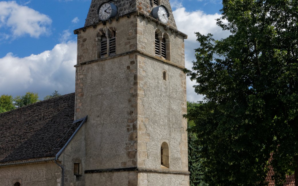
Place de la Fontaine in Chichilianne, by the church, the board’s start
Start at the Chichilianne signpost on the Place de la Fontaine, beside the church and the tourist information point.
Route: Follow Près des Oches along the road past the town hall towards the east end of the village. At Près des Oches take the track down to the left, ford the river and a few metres on climb left up the steep little forest path to the Le Châtel viewpoint. Go down towards Chevalanche, then turn right towards Pierre aux Corneilles through the hamlet of Château-Vieux. Follow the crest due west to Les Crêtes and on to Le Cros, going straight over the D 7B and crossing the river to the left. From Le Cros follow the track towards Le Rapon, then Chichilianne, back to the start.
Key turns: Left down the track at Près des Oches; left up the forest path after the ford; right towards Pierre aux Corneilles after Chevalanche; straight over the D 7B; at Le Cros follow Le Rapon.
Park on the Place de la Fontaine or at the La Richardière car park: 3.8 km round, 116 m up and down, about 1 h 30. Open all year; the ford can be higher after rain.
The trail rating above describes the mountain, and it's the same for every dog. How it suits yours depends on their build, age and health. See this route's match — scored for a medium dog until you add your own, free and in a minute.
Before you go: the dog safety guide · water for dogs on trail · dogs on cable cars · meeting a guardian dog
