 ORMA
the nature trail on the west shore of the Toblacher See
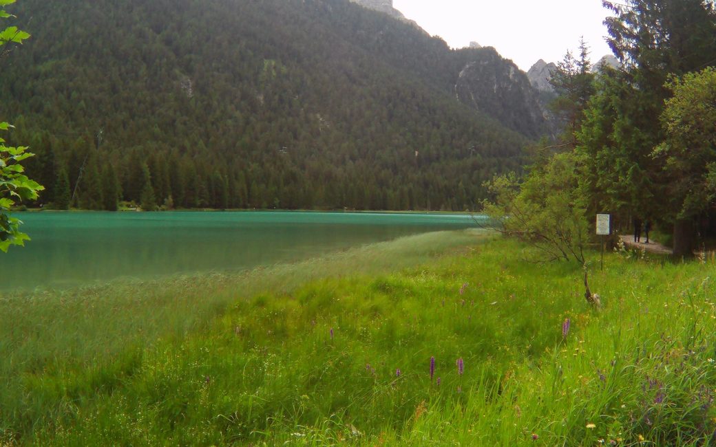
A level walk from Toblach to the Toblacher See and along the nature trail on its west shore, and back. The board lists 7.9 km and 61 m of ascent.
Recommended all year.
Source: Dolomites 3 Zinnen tourist board, read on 6 November 2026.
In winter, 3.6 km of this walk is a cross-country ski track (Toblacher See - Lago di Dobbiaco). Expect skiers there while the runs are open, usually from December to April (an estimate).
Read off the map (OpenStreetMap).
December to February (an estimate): the roads and lanes on this walk may be salted when they ice over. Salt hurts dogs’ paws: check them after the walk and rinse them with warm water.
Source: Province of Bolzano weather service, Bozen station temperatures, read on 10 November 2026. German Federal Chamber of Veterinarians, read on 10 November 2026.
Toblach tourist office, the board’s start
This walk has no trail number of its own: follow these landmarks
Start at the Toblach tourist office, the tourist board’s start.
Directions: Tre Cime Dolomites tourist board, checked 2 November 2026.
Start at the Toblach tourist office: 7.9 km there and back, about 60 m of climbing, two and a half hours. Keep your dog on a lead of at most 1.5 m and carry a muzzle, as Toblach requires. The nature trail on the west shore has 11 information stations and an observation platform. Keep your dog out of the lake.
The trail rating above describes the mountain, and it's the same for every dog. How it suits yours depends on their build, age and health. See this route's match — scored for a medium dog until you add your own, free and in a minute.
Before you go: the dog safety guide · water for dogs on trail · dogs on cable cars · meeting a guardian dog
Planning a few days here? Read our area guide: Lago di Braies & Tre Cime with a dog.
