 ORMA
the walk above the north shore from Techendorf past the Tschabitscher farm to the Kreuzwirt
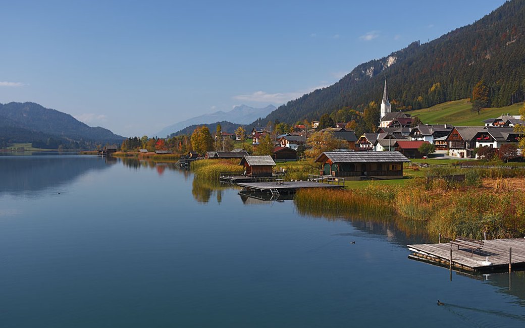
A walk from Techendorf above the Weissensee’s north shore, past the Tschabitscher farm to the Kreuzwirt at the west end of the valley, with views over the lake and into the Drau valley. The board lists 6.5 km and 177 m of ascent, one way.
Snow is possible here from December to February.
Estimated from the walk’s high point (1124 m). No tourist board publishes this walk’s season, and every winter is different.
the bridge in Techendorf, the board’s start
Directions: From the bridge in Techendorf along the village road (L7a/L7), up past the Tschabitscher farm onto the forest tracks and the Nördlicher Waldweg above the north shore, west to the Techendorfer Straße (L7) and the Weißensee road (B87) at the Kreuzwirt; return the same way.
From ORMA's route audit of the official route description. Follow the mapped ORMA line and local signs.
Start at the bridge in Techendorf: 6.5 km and about 177 m of climbing, about 2 h one way; come back the same way. Keep your dog on a short lead on the road stretches at both ends and by the farm. Carry a muzzle for buses.
The trail rating above describes the mountain, and it's the same for every dog. How it suits yours depends on their build, age and health. See this route's match — scored for a medium dog until you add your own, free and in a minute.
Before you go: the dog safety guide · water for dogs on trail · dogs on cable cars · meeting a guardian dog
