 ORMA
the short Ta Lipa Pot loop from Stolvizza
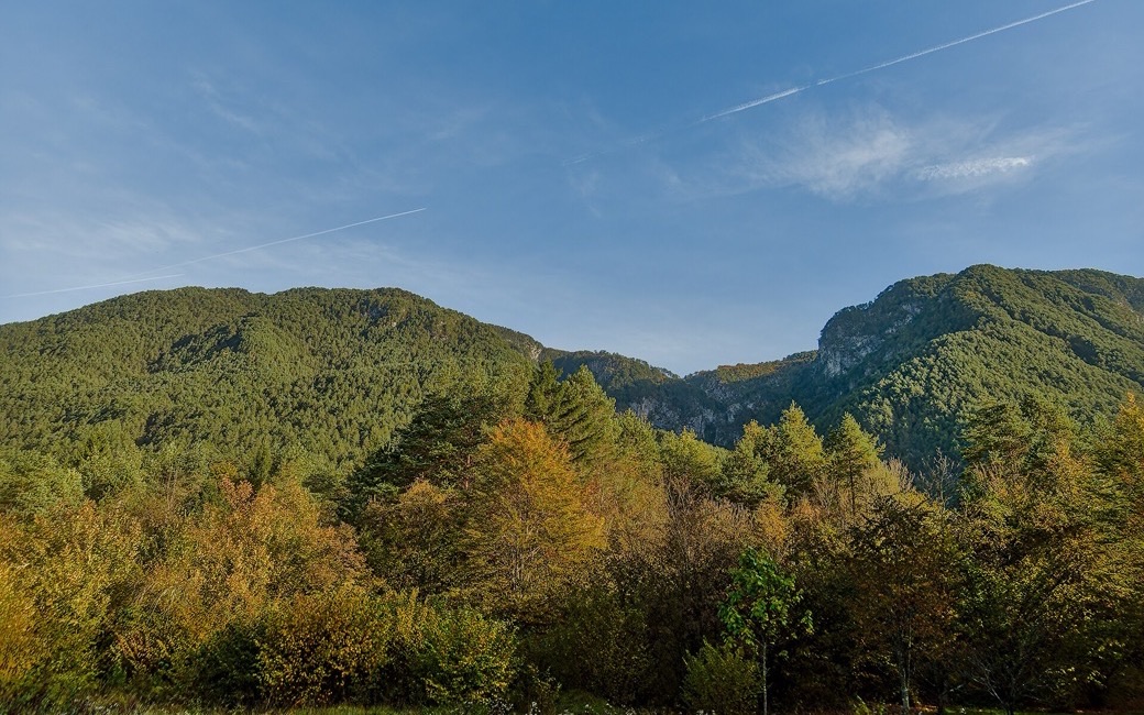
An easy loop from Stolvizza in Val Resia to the Potok waterfall, through pine woods past the Casa Resiana and the hamlet of Zamlin, and back up to the village. PromoTurismoFVG lists 5.5 km and 152 m of ascent.
Snow is possible here from December to February.
Estimated from the walk’s high point (599 m). No tourist board publishes this walk’s season, and every winter is different.
Via Pustigost by the bar-trattoria All’arrivo, Stolvizza di Resia, the board’s start
Directions: The park’s “Ta Lipa Pot” (“the beautiful road” in Resian), no route number: from via Pustigost in Stolvizza down a steep stretch to the stream and, with some care over rocks and gravel, to the Potok waterfall; along the right bank through pine forest to the meadow of the Casa Resiana; straight on across a stream and past a large meadow to a junction, left down to the tarred road by the bar and campsite Al Ranch; right along the road through the hamlet of Zamlin, then left at a large meadow, following the signs, steeply up through shady woods past meadows and a stable to the road, and finally right off the road on the last stretch of path into Stolvizza.
From ORMA's route audit of the official route description. Follow the mapped ORMA line and local signs.
Start in Stolvizza on via Pustigost: 5.5 km and about 150 m of climbing, an hour and three quarters. Keep your dog on a lead of at most 1.5 m in the hamlets and carry a muzzle. The way down to the Potok waterfall is steep and stony. Avoid the hottest summer hours; the Stolvizza museums and restaurants are at the start.
The trail rating above describes the mountain, and it's the same for every dog. How it suits yours depends on their build, age and health. See this route's match — scored for a medium dog until you add your own, free and in a minute.
Before you go: the dog safety guide · water for dogs on trail · dogs on cable cars · meeting a guardian dog
