 ORMA
forest, a waterfall and the lake shore
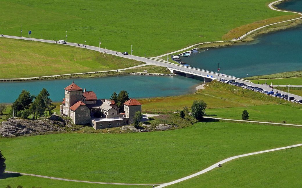
A loop from the Surlej bridge through the forest above Surlej to a waterfall and back along Lake Silvaplana past the Crap da Sass castle. The board lists 6.2 km, 166 m up and 166 m down, 1 h 50.
Recommended from June to October.
Source: Outdooractive, read on 7 November 2026.
In winter, 1.5 km of this walk is a cross-country ski track (Via da las Palüds, Via dal Crap Alv). Expect skiers there while the runs are open, usually from December to April (an estimate).
Read off the map (OpenStreetMap).
Surlej bridge, the board’s start
Start at the Surlej bridge between Silvaplana and Surlej, the board’s start.
Route: Walk past the small lake of Lej Ovis-chel and climb into the forest. Keep right on the wide forest track, which runs above the village of Surlej and passes below the Corvatsch cable car. Shortly after, the path forks off to the right and then turns left, down towards the waterfall and the shore of Lake Silvaplana. Follow the shore path past the Crap da Sass castle and walk the last 150 m beside the Via da Surlej back to the bridge.
Key turns: Key turns: in the forest keep right on the wide track; after the cable car fork right, then turn left down to the waterfall; along the lake back to the bridge.
Start at the Surlej bridge: a 6.2 km loop, 166 m up and down, under two hours. Keep your dog on a lead. Drinking water at about km 1.5 and 2.2. Cafés in Surlej.
The trail rating above describes the mountain, and it's the same for every dog. How it suits yours depends on their build, age and health. See this route's match — scored for a medium dog until you add your own, free and in a minute.
Before you go: the dog safety guide · water for dogs on trail · dogs on cable cars · meeting a guardian dog
