 ORMA
the old valley road through Gressoney-Saint-Jean
An easy walk at about 1,370–1,440 m on the valley floor through Gressoney-Saint-Jean, on the old valley road, the Strada Lombarda, and a dirt road beside the Lys. The regional path register lists 4.3 km and 155 m of ascent, one way.
Snow is possible here from December to February.
Estimated from the walk’s high point (1438 m). No tourist board publishes this walk’s season, and every winter is different.
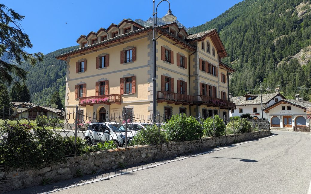
Bivio Villa Margherita, the register’s start
Directions: Path 14: from the Villa Margherita junction on the dirt road to Obro Verdebio, on the path and the mule track to the road by the swimming pool, through the village square of Gressoney-Saint-Jean, and on the dirt road from the concrete bridge to the start of path 9. Back the same way.
From ORMA's route audit of the official route description. Follow the mapped ORMA line and local signs.
Start at the Villa Margherita junction: 4.3 km and about 150 m of climbing one way, a little over an hour, then the same way back. Keep your dog on a lead of at most 1.5 m and carry a muzzle.
The trail rating above describes the mountain, and it's the same for every dog. How it suits yours depends on their build, age and health. See this route's match — scored for a medium dog until you add your own, free and in a minute.
Before you go: the dog safety guide · water for dogs on trail · dogs on cable cars · meeting a guardian dog
