 ORMA
the Tofana di Rozes loop from Rifugio Dibona
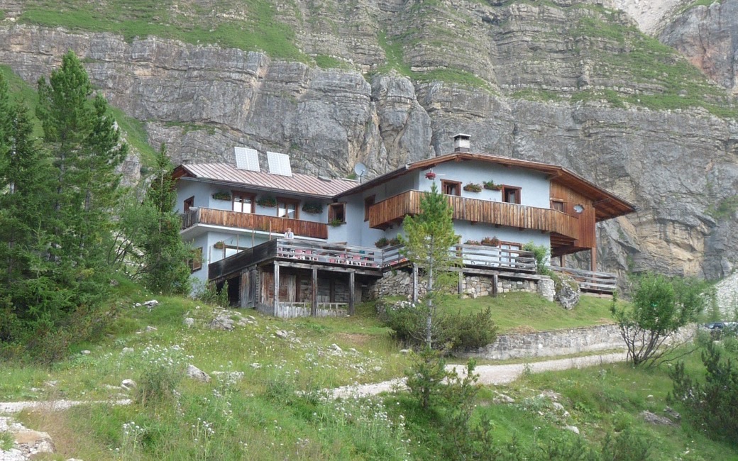
A mountain loop from Rifugio Dibona under the south face of the Tofana di Rozes to Forcella Col dei Bos and back. The board lists 7.6 km and 489 m of ascent.
Snow is likely here from November to May.
Estimated from the walk’s high point (2404 m). No tourist board publishes this walk’s season, and every winter is different.
Start, the board’s start
Directions: Paths 403, 404 and 402: from Rifugio Dibona (reached by road) on path 403 towards Rifugio Giussani, then path 404 climbing in zigzags to the foot of the south face of the Tofana di Rozes and along it to Forcella Col dei Bos, with remains of the First World War, then down on path 402 back to the start.
From ORMA's route audit of the official route description. Follow the mapped ORMA line and local signs.
Start at Rifugio Dibona: 7.6 km, about 490 m of climbing, three and a half hours on mountain paths. Keep your dog on a lead, as Cortina and the park require. Bring water and something warm: the walk reaches 2,380 m and is open to sun and wind.
The trail rating above describes the mountain, and it's the same for every dog. How it suits yours depends on their build, age and health. See this route's match — scored for a medium dog until you add your own, free and in a minute.
Before you go: the dog safety guide · water for dogs on trail · dogs on cable cars · meeting a guardian dog
