 ORMA
a sunny loop above the Passeier valley
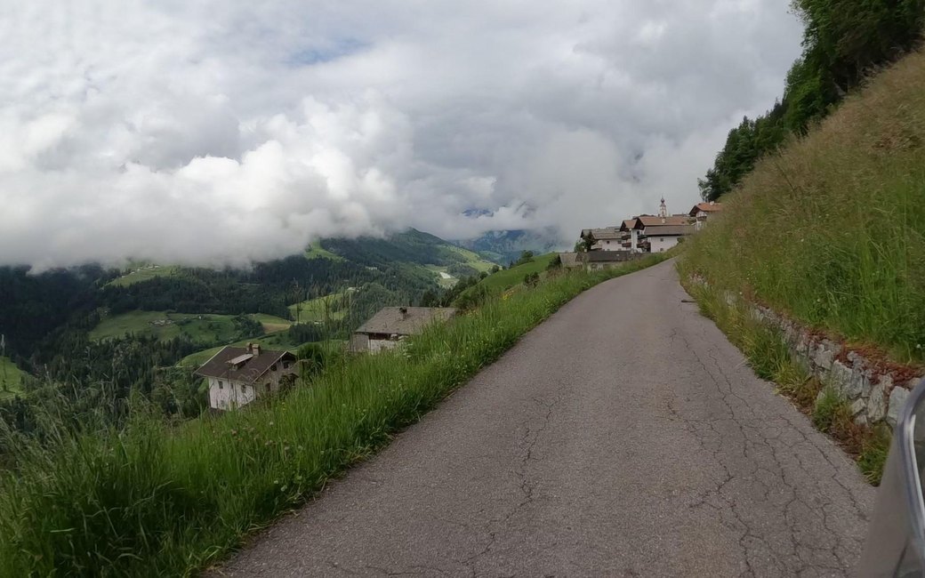
A sunny loop above Stuls in the Passeier valley on the Sonnenrundweg, up the farm road to the Kofler Kreuz and on path 14A to the Morx Puite. The board lists 5.1 km, 272 m up and 272 m down, 1 h 40.
Recommended all year.
Source: Outdooractive, read on 6 November 2026.
Car park by the church in Stuls, the board’s start
Start at the car park by the church in Stuls, the board’s start.
Trail numbers and route: Follow the Sonnenrundweg signs to the junction at the Kofler Kreuz. There turn sharply left and follow the road up to its seventh hairpin. At the hairpin leave the road to the left on path 14A and follow it to the Morx Puite. From there walk down the road back to the car park in Stuls.
Where to switch: Three changes: sharp left at the Kofler Kreuz; left off the road at the seventh hairpin onto path 14A; at the Morx Puite back down the road.
Start at the car park by the church in Stuls: a 5.1 km loop, 272 m up and down, about an hour and three quarters. Keep your dog on a lead of at most 1.5 m and carry a muzzle. No drinking water on the way: bring water for your dog.
The trail rating above describes the mountain, and it's the same for every dog. How it suits yours depends on their build, age and health. See this route's match — scored for a medium dog until you add your own, free and in a minute.
Before you go: the dog safety guide · water for dogs on trail · dogs on cable cars · meeting a guardian dog