 ORMA
the climb from Cristauta to the Sëurasas viewpoint
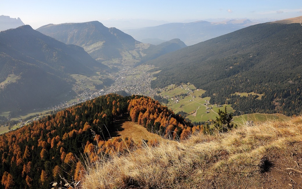
A climb from Cristauta above Santa Cristina through larch forest to the Sëurasas alp and its summit cross, with a view over all three villages of Val Gardena. The board lists 6.6 km and 449 m of ascent.
Recommended from May to October.
Source: Val Gardena tourist board, read on 6 November 2026.
Cristauta car park, above Santa Cristina, the board’s start
Directions: Paths 4 and 20: from the Cristauta car park on path 4 towards San Giacomo; at the fork right onto path 20 up to the Sëurasas alp and on to the summit cross, with views over the three villages of Val Gardena, the Sassolungo, the Sella, the Cir peaks and the Alpe di Siusi. Back the same way.
From ORMA's route audit of the official route description. Follow the mapped ORMA line and local signs.
Start at the Cristauta car park above Santa Cristina: 6.6 km and about 450 m of climbing there and back, three hours. Keep your dog on a lead of at most 1.5 m and carry a muzzle. Water only near the start: carry enough for the climb and the open ridge.
The trail rating above describes the mountain, and it's the same for every dog. How it suits yours depends on their build, age and health. See this route's match — scored for a medium dog until you add your own, free and in a minute.
Before you go: the dog safety guide · water for dogs on trail · dogs on cable cars · meeting a guardian dog
Planning a few days here? Read our area guide: Dog-friendly hikes in Val Gardena.
