 ORMA
down the Seppelesteig and Patersteig above Burgeis
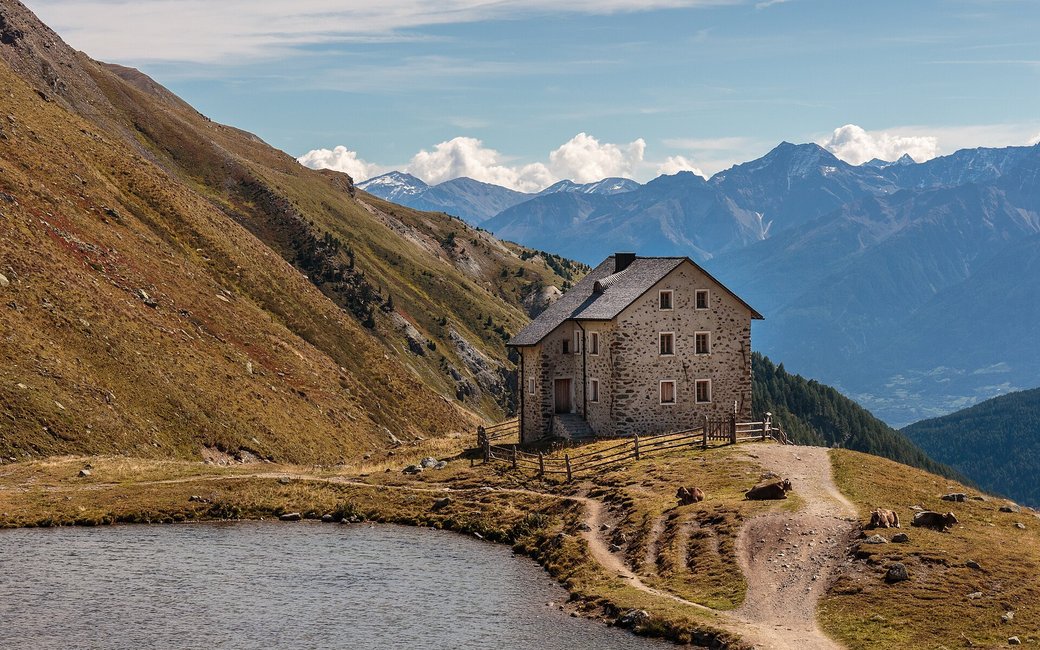
The fourth stage of the long-distance walk, from the Rifugio Sesvenna down past the Schliniger Alm and Schlinig, along the Seppelesteig and Patersteig above Burgeis with Marienberg Abbey in view, to Laatsch and Mals. The board lists 17 km, 5 m up and 1,205 m down.
Recommended from July to September.
Source: Outdooractive, read on 6 November 2026.
March to April: pine processionary caterpillars come down from the pines below about 1400 m, and they are a danger to dogs. Keep your dog away from pines and from the caterpillars.
Source: South Tyrol forestry service, reported by il Dolomiti, read on 9 November 2026.
March to June: ticks in the woods below about 1200 m, most of all from late May to mid-June. Check your dog after the walk.
Source: Province of Trento and Fondazione Edmund Mach, read on 9 November 2026.
June to September (an estimate): cows may be out on the pastures. Keep your dog close and give the herds a wide berth.
Source: South Tyrol tourist board, read on 9 November 2026.
December to February (an estimate): the roads and lanes on this walk may be salted when they ice over. Salt hurts dogs’ paws: check them after the walk and rinse them with warm water.
Source: Province of Bolzano weather service, Bozen station temperatures, read on 10 November 2026. German Federal Chamber of Veterinarians, read on 10 November 2026.
Rifugio Sesvenna (Sesvennahütte), the board’s start of stage 4
Start at the Rifugio Sesvenna (Sesvennahütte), the end of stage 3 and the board’s start of stage 4.
Trail numbers and route: Walk out of the valley below the hut, past the steep waterfall, on the hiking path to the Schliniger Alm and the village of Schlinig. From Schlinig take path 20, the Seppelesteig, towards Prämajur below the Watles, across wide meadows with Marienberg Abbey in view. Continue on path 1B, the Patersteig, to the farming village of Laatsch, then on the level path into Mals.
Where to switch: Two changes: in Schlinig take path 20 (Seppelesteig), and where it ends continue on path 1B (Patersteig) to Laatsch.
Start at the Rifugio Sesvenna, reached on stage 3: 17 km one way to Mals, almost all downhill, about 1,200 m down, five hours. Keep your dog on a lead of at most 1.5 m and carry a muzzle. Drinking water at several points from km 1.9; the bus and train run from Mals.
The trail rating above describes the mountain, and it's the same for every dog. How it suits yours depends on their build, age and health. See this route's match — scored for a medium dog until you add your own, free and in a minute.
Before you go: the dog safety guide · water for dogs on trail · dogs on cable cars · meeting a guardian dog
