 ORMA
ORMA
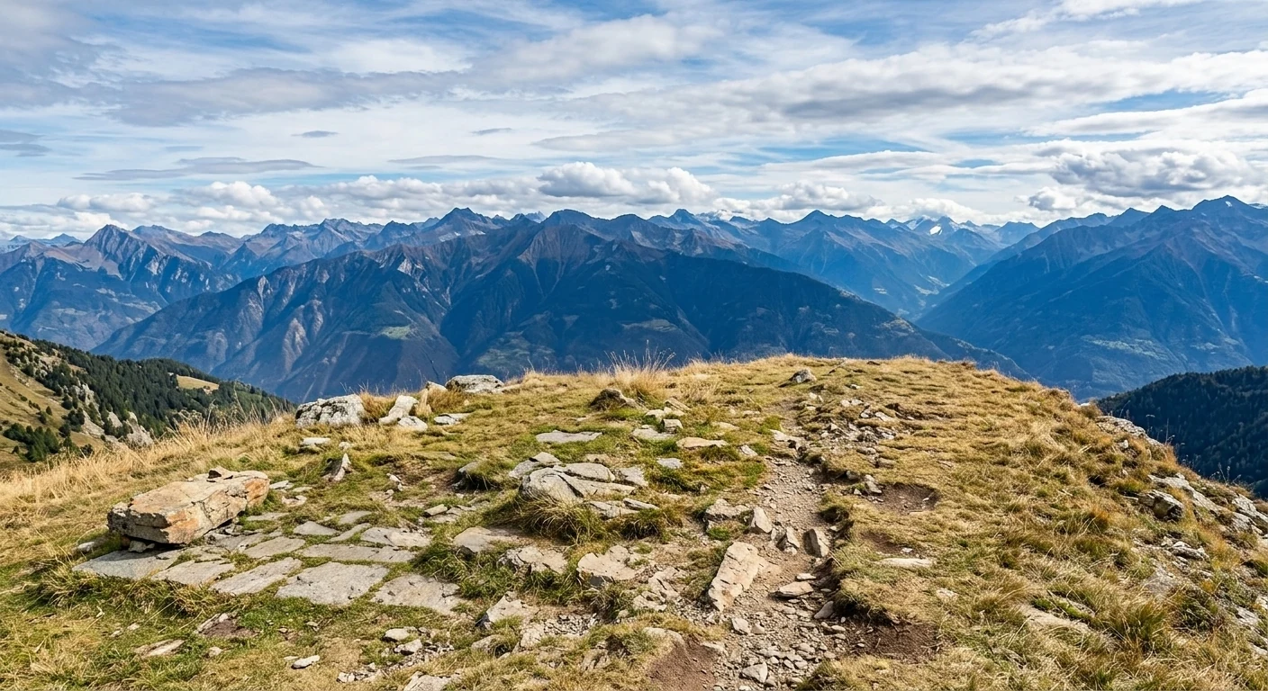
A country loop around Arbusigny on the Plateau des Bornes, known locally as the Chemin des Fours: it strings together the commune's hamlets past old communal bread ovens and mission crosses, with wide views over the Saleve, the Voirons, the Bornes and the Faucigny. Part of the route follows the historic Chemin du Sel, the old salt road, on a mix of farm tracks and quiet lanes at around 830 m.
This is a point-to-point route, so plan the return: retrace your steps or check local buses.
Mapped start suggestion, Start here: Arbusigny chef-lieu, route du Col du Parc, by the bus stop. Check current access before travelling.
Do not rely on potential water locations being available or drinkable. Carry enough for the full walk.
Use the live forecast, check local access information and be ready for changing mountain conditions.
The trail rating above describes the mountain, and it's the same for every dog. How it suits yours depends on their build, age and health. See this route's match — scored for a medium dog until you add your own, free and in a minute.
Before you go: the dog safety guide · water for dogs on trail · dogs on cable cars · meeting a guardian dog