 ORMA
ORMA
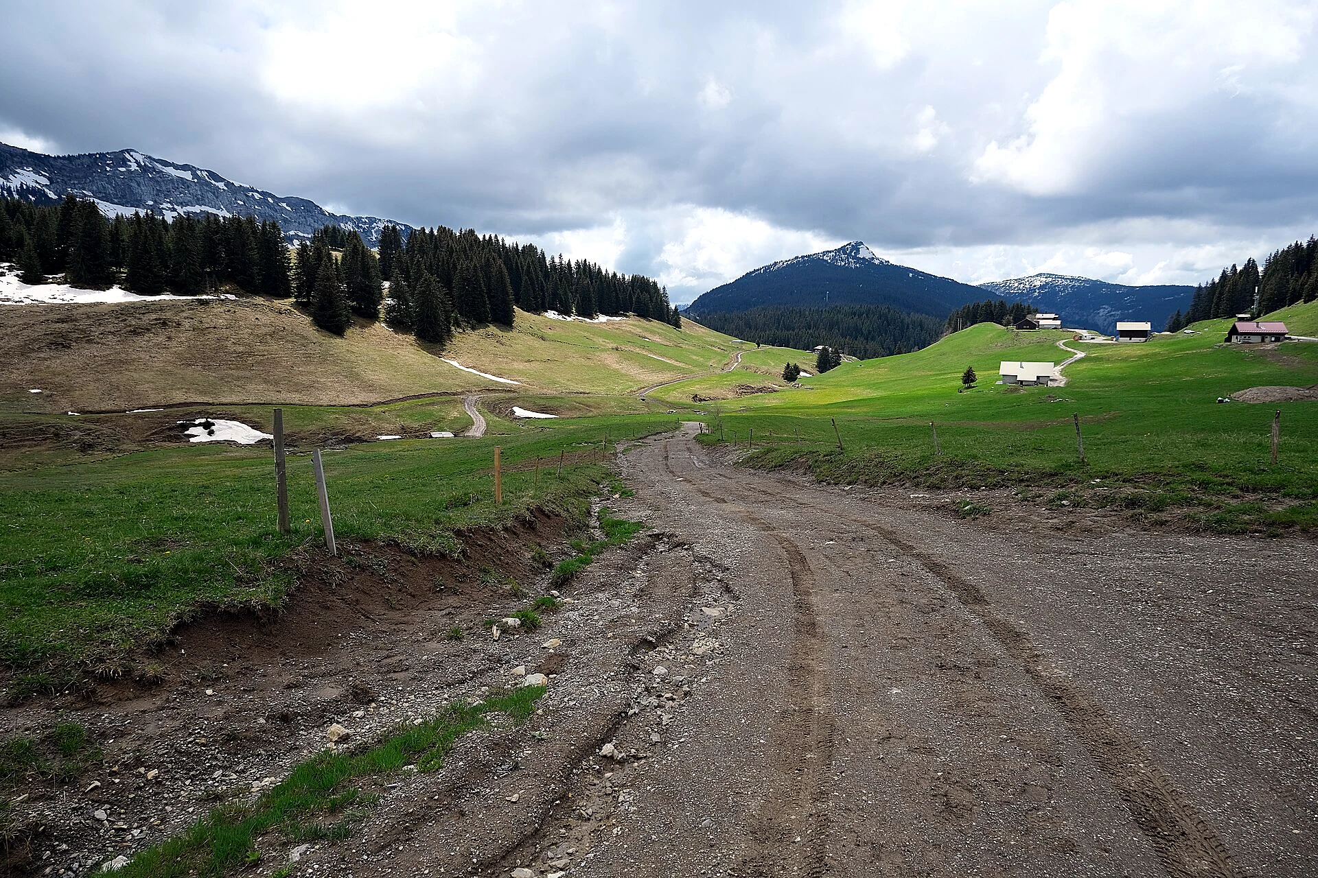
The historic route between the Glières plateau and the village of Glières-Val-de-Borne (Petit-Bornand), following the paths the maquisards and the villagers who supplied them used in the winter of 1944. A linear mountain trail of about 9 km with roughly 730 m of vertical, through alpage pastures at the top and forest lower down, part of the Chemins du Maquis network.
Start here: col des Glières parking, by the Maison du Plateau (route descends to Glières-Val-de-Borne)
Do not rely on potential water locations being available or drinkable. Carry enough for the full walk.
This is a one-way route, not a loop: either arrange a pickup in the valley or double the day by walking back up. The 730 m of sustained descent is the real test for dogs, hard on seniors and joint-prone breeds, so check your dog's match score honestly before committing. Leash rules and summer herds apply on the plateau section, patous included; give flocks a wide berth. Surfaces are only sparsely mapped in the source data, so expect rough mountain path in places. The only mapped water point sits near the valley end, so carry enough for the whole descent. Start early for shade in the forest half.
The trail rating above describes the mountain, and it's the same for every dog. How it suits yours depends on their build, age and health. See this route's match — scored for a medium dog until you add your own, free and in a minute.
Before you go: the dog safety guide · water for dogs on trail · dogs on cable cars · meeting a guardian dog
.jpg)