 ORMA
ORMA
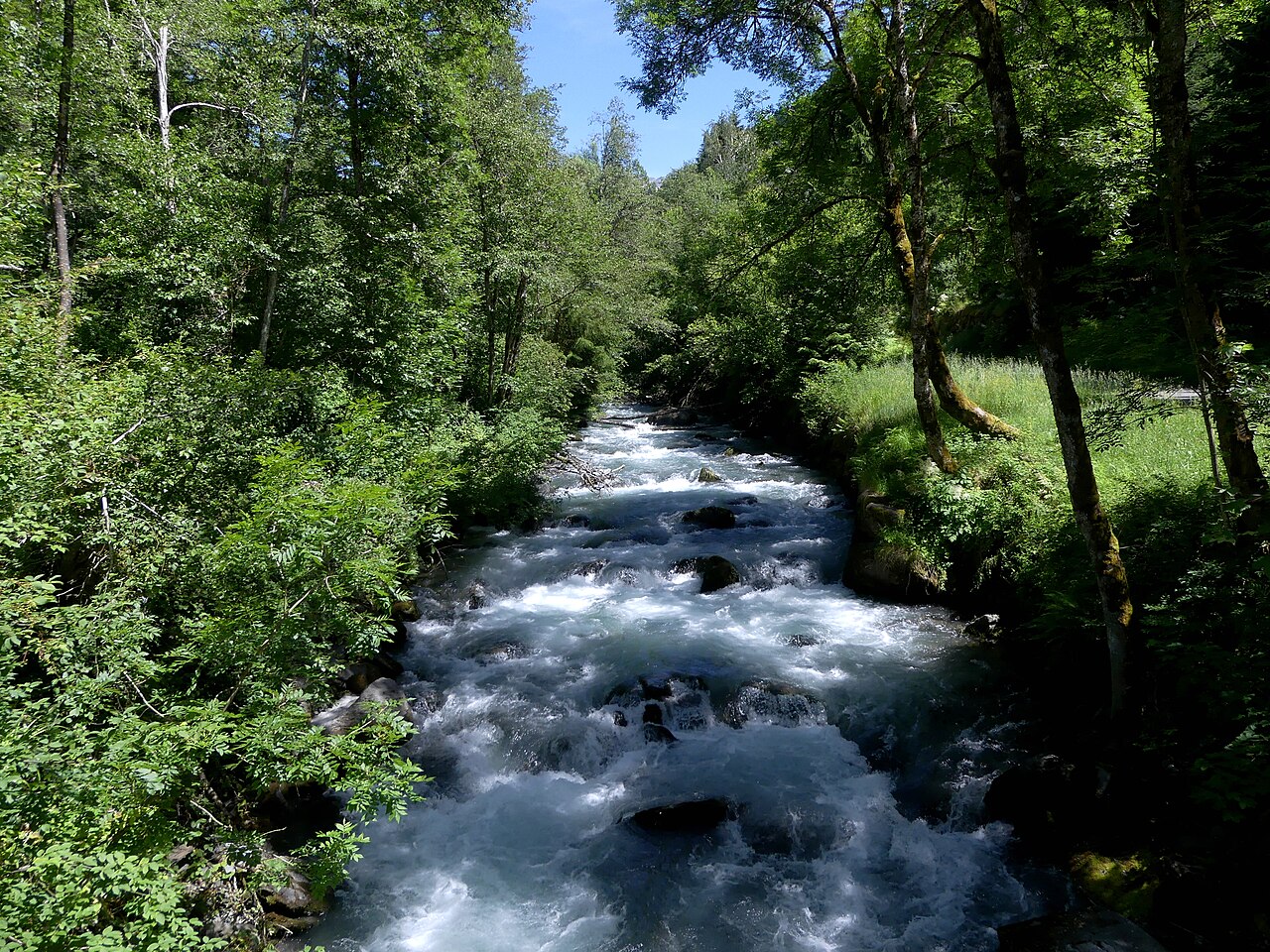
An 5.9 km route near Bourg-Saint-Maurice, imported from the OpenStreetMap hiking network. Passed automated dog-suitability screening: no via ferrata, ladders, or alpine-grade (T3+) sections on record.
This is a point-to-point route, so plan the return: retrace your steps or check local buses; the 280 m of climbing is steady rather than steep, a fair ask for most fit dogs.
Mapped start suggestion, Parking, 3 m from the route. Check current access before travelling.
Do not rely on potential water locations being available or drinkable. Carry enough for the full walk.
Use the live forecast, check local access information and be ready for changing mountain conditions.
The trail rating above describes the mountain, and it's the same for every dog. How it suits yours depends on their build, age and health. See this route's match — scored for a medium dog until you add your own, free and in a minute.
Before you go: the dog safety guide · water for dogs on trail · dogs on cable cars · meeting a guardian dog
.JPG)