 ORMA
a 3,000 m summit facing the Bernina glaciers
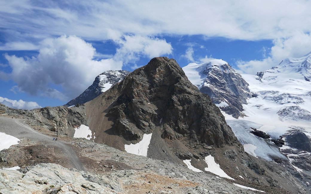
A short summit walk from the Diavolezza cable car to Sass Queder at 3,066 m, facing the Bernina glaciers, and back the same way. The board lists 1.5 km, 123 m up and 123 m down, 35 min.
Recommended from June to October.
Source: Outdooractive, read on 7 November 2026.
The Diavolezza cable car runs from 17 October to 15 November and from 19 December to 2 May (2026/27 dates; summer dates not yet published). The walk needs it.
Source: Corvatsch-Diavolezza, read on 9 November 2026.
In winter, 1.1 km of this walk is a ski run (Firn). Expect skiers there while the runs are open, usually from December to April (an estimate).
Read off the map (OpenStreetMap).
Diavolezza top station, the board’s start
Start: Ride the Diavolezza cable car up from the Bernina Diavolezza station and start at its top station, the board’s start.
Route: Take the marked path from the top station towards Sass Queder. It climbs about 110 m over roughly 0.8 km of rocky ground to the summit at 3,066 m, with the Bernina glaciers on one side and the view down to the Valtellina on the other. At the top is a fire place. Come back down the same path to the top station.
Key turns: No turns to make: follow the marked path to the summit of Sass Queder, then return the same way.
Take the Diavolezza cable car up from the Bernina Diavolezza station: 1.5 km there and back to Sass Queder, 123 m up and down, about 35 minutes. Keep your dog on a lead. No drinking water mapped: bring water. Restaurant at the top station.
The trail rating above describes the mountain, and it's the same for every dog. How it suits yours depends on their build, age and health. See this route's match — scored for a medium dog until you add your own, free and in a minute.
Before you go: the dog safety guide · water for dogs on trail · dogs on cable cars · meeting a guardian dog
