 ORMA
the gravel road from the Piave springs to the Rifugio Calvi
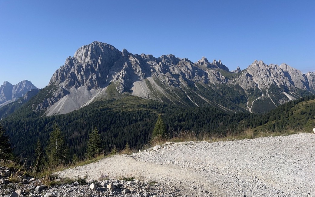
An easy climb on a gravel road from the Piave springs above Sappada to the Rifugio Calvi, the highest hut in the region, below Monte Peralba. PromoTurismoFVG lists 4 km and 333 m of ascent.
Recommended from June to October.
Source: Outdooractive, read on 7 November 2026.
Car park at the junction for the Piave springs above Cima Sappada, the board’s start
Directions: Route 24 in Sappada’s walk list: from the large car park near the junction for the Piave springs, up the easy gravel road in about an hour to the Rifugio Calvi (2,164 m), owned by the CAI of Sappada, below the Peralba and the Chiadenis; back the same way. (The board also mentions a First World War path with fixed aids; this walk follows the gravel road.)
From ORMA's route audit of the official route description. Follow the mapped ORMA line and local signs.
Drive to the car park by the Piave springs junction above Cima Sappada: 4 km there and back and about 330 m of climbing, an hour and forty minutes. Keep your dog on a lead and carry a muzzle. No shade and no water on the way up: start early and bring water. The Rifugio Calvi is open in summer.
The trail rating above describes the mountain, and it's the same for every dog. How it suits yours depends on their build, age and health. See this route's match — scored for a medium dog until you add your own, free and in a minute.
Before you go: the dog safety guide · water for dogs on trail · dogs on cable cars · meeting a guardian dog