 ORMA
a loop from Gardola up to the Montecastello sanctuary on its rock above Lake Garda
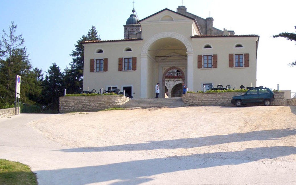
A short loop from Gardola, Tignale’s main village high above Lake Garda, up woodland paths to the sanctuary of Montecastello, perched on a rocky spur at about 700 m with frescoes and a terrace over the lake and Monte Baldo, and back down through the village lanes. The park lists 4.9 km, 283 m up and down, 1 h 55.
Recommended all year.
Source: Outdooractive, read on 19 November 2026.
The centre of Gardola, Tignale, the published start
Start in the centre of Gardola, the main village of Tignale, where there are car parks, the published start.
Trail numbers and route: From Gardola climb on the waymarked paths (204 and the Bassa Via del Garda) through woods and past viewpoints to the sanctuary of Montecastello, perched on a rocky spur at about 700 m above Lake Garda, with fourteenth-century frescoes, a small guest house and terraces looking over to Monte Baldo. Come back down by the other side of the loop and through the lanes of Gardola to the start.
Where to switch: Paths 204 and BVG (Bassa Via del Garda) from Gardola up to the sanctuary; back down on the other side of the loop through the lanes of Gardola.
Park in Gardola, the centre of Tignale: 4.9 km and 283 m up and down, about 1 h 55 as the park gives. Stop on the sanctuary terrace for one of the best views over Lake Garda. Keep your dog on a lead in the village and carry a muzzle.
The trail rating above describes the mountain, and it's the same for every dog. How it suits yours depends on their build, age and health. See this route's match — scored for a medium dog until you add your own, free and in a minute.
Before you go: the dog safety guide · water for dogs on trail · dogs on cable cars · meeting a guardian dog
