 ORMA
the loop past the old farms above Santa Cristina
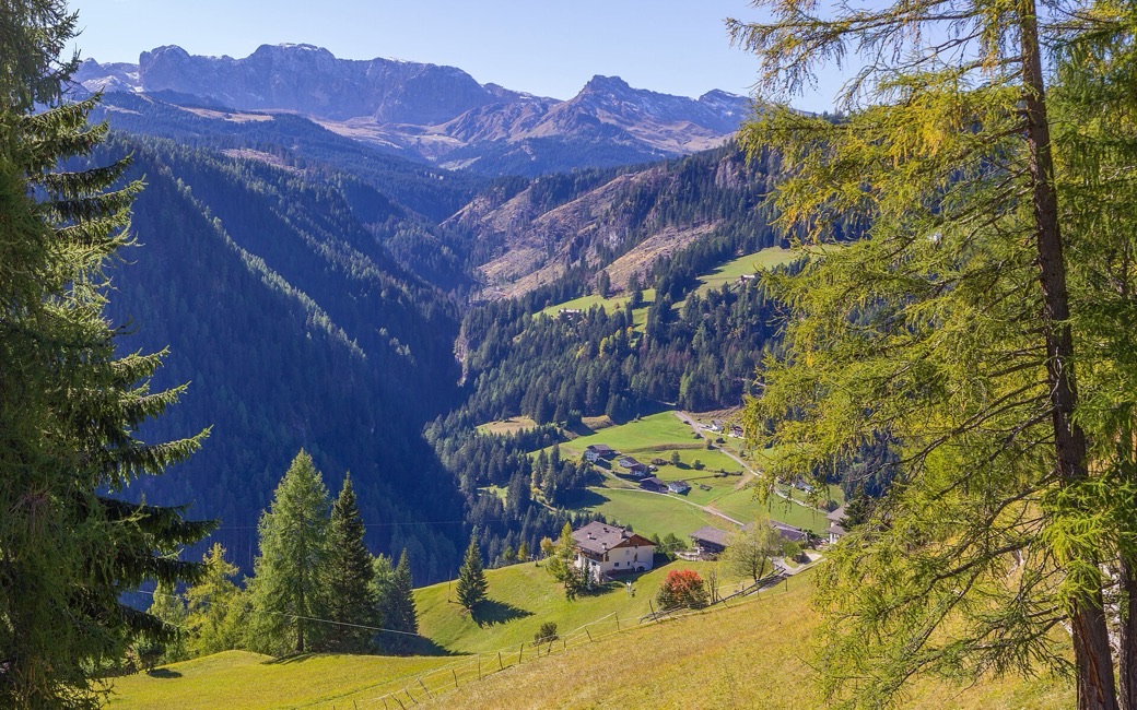
A loop from Santa Cristina past the old mountain farms above the village, with boards telling each farm’s story in old photographs. The board lists 7.4 km and 450 m of ascent.
Recommended from May to October.
Source: Val Gardena tourist board, read on 6 November 2026.
The Baita Pramulin is open from 5 December to 4 April and from 29 June to 27 September (summer 2027, winter 2026/27 dates).
Source: valgardena.it, read on 11 November 2026.
Parish square of Santa Cristina, the board’s start
Directions: Signed “Percorso dei masi tradizionali”: from the parish square of Santa Cristina follow the farms-path signs past the mountain farms above the village, with boards showing old photographs of each farm, and back to the square.
From ORMA's route audit of the official route description. Follow the mapped ORMA line and local signs.
Start at the parish square of Santa Cristina: 7.4 km and about 450 m of climbing, two and a half hours. Keep your dog on a lead of at most 1.5 m and carry a muzzle, and stay on the path past the farms and meadows. Fountains in the village at the start.
The trail rating above describes the mountain, and it's the same for every dog. How it suits yours depends on their build, age and health. See this route's match — scored for a medium dog until you add your own, free and in a minute.
Before you go: the dog safety guide · water for dogs on trail · dogs on cable cars · meeting a guardian dog
Planning a few days here? Read our area guide: Dog-friendly hikes in Val Gardena.
