 ORMA
up a quiet side valley to the alp
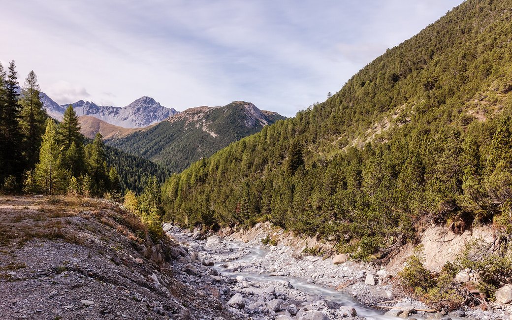
A gentle walk from the summer village of S-charl up a quiet side valley to Alp Sesvenna, and back the same way. The board lists 5.2 km, 288 m up and down, 1 h 45.
Recommended from May to October.
Source: Outdooractive, read on 7 November 2026.
The S-charl PostAuto stop, the board’s start
Start: Take the PostAuto from Scuol to S-charl, about 25 minutes, and start at the S-charl stop, the board’s start.
Route: From the stop walk through the summer village of S-charl, past its fountains and the Chasa Sesvenna guest house. Follow the signs to Alp Sesvenna up the valley on the alp road, climbing gently through open meadows and stone-pine forest, to the alp buildings of Alp Sesvenna at about km 2.6. Turn round there and walk back the same way to S-charl.
Key turns: Key turns: in S-charl follow the signs to Alp Sesvenna; at Alp Sesvenna turn round and come back the same way.
Take the PostAuto from Scuol to S-charl and walk 5.2 km there and back to Alp Sesvenna, 288 m up and down, about an hour and three quarters. Drinking water at the fountains in S-charl, at the start and end. Food in S-charl.
The trail rating above describes the mountain, and it's the same for every dog. How it suits yours depends on their build, age and health. See this route's match — scored for a medium dog until you add your own, free and in a minute.
Before you go: the dog safety guide · water for dogs on trail · dogs on cable cars · meeting a guardian dog
