 ORMA
the St Magdalena circular walk
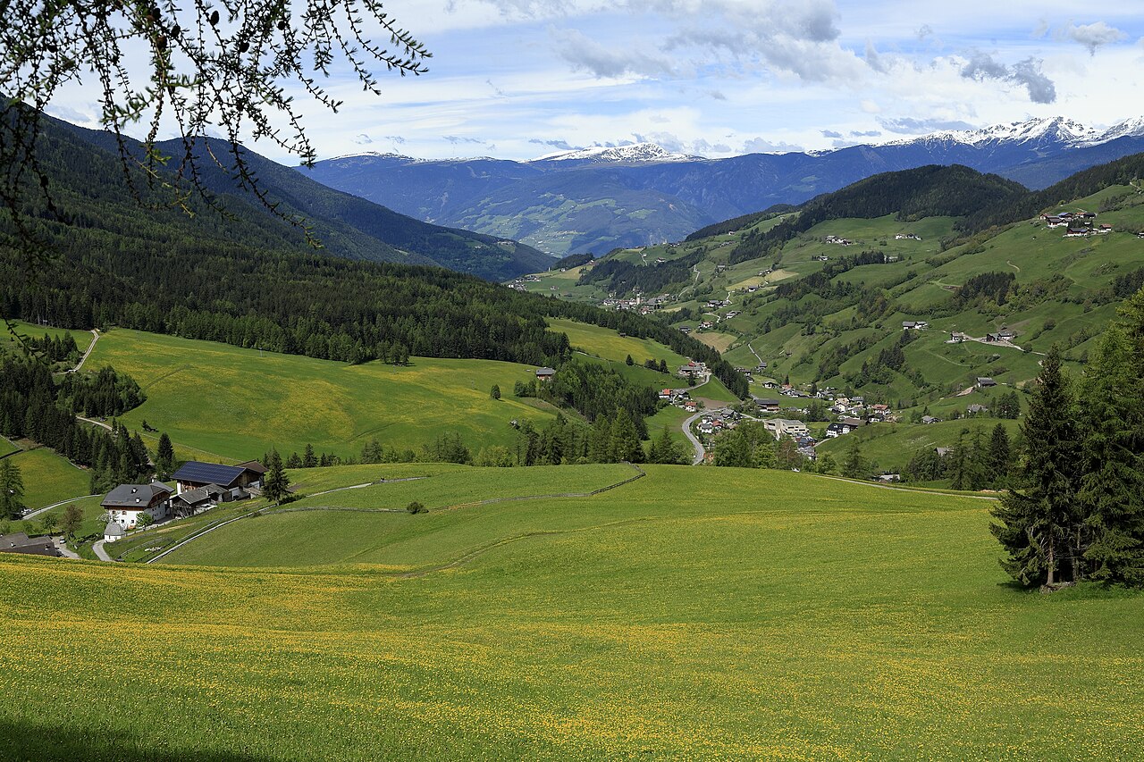
An easy village loop in St. Magdalena, Villnöss: past the Faller and Kaserott farms up to the church, along the road to Bühlerhof, and back across the meadows on the Sunnseitenweg below the Odle peaks. The official route lists 3.2 km and 134 m of ascent.
Snow is possible here from December to February.
Estimated from the walk’s high point (1352 m). No tourist board publishes this walk’s season, and every winter is different.
December to February (an estimate): the roads and lanes on this walk may be salted when they ice over. Salt hurts dogs’ paws: check them after the walk and rinse them with warm water.
Source: Province of Bolzano weather service, Bozen station temperatures, read on 10 November 2026. German Federal Chamber of Veterinarians, read on 10 November 2026.
Bergerplatz, the central square of St. Magdalena (official start)
Directions: No number: follow the “Rundweg St. Magdalena” signs from Bergerplatz via Fallerhof and Kaserotthof to the church, take the road to Bühlerhof, then turn left onto the Sunnseitenweg across the meadows.
From ORMA's route audit of the official route description. Follow the mapped ORMA line and local signs.
The official loop starts on Bergerplatz and climbs gently past the Faller and Kaserott farms to the church of St. Magdalena, then returns along the Sunnseitenweg: 3.2 km with about 134 m of ascent, about an hour. Dogs must be on a short lead (1.5 m at most) throughout and may not go onto the meadows or into the churchyard. There is almost no shade and much of it is tarmac, so avoid hot afternoons.
The trail rating above describes the mountain, and it's the same for every dog. How it suits yours depends on their build, age and health. See this route's match — scored for a medium dog until you add your own, free and in a minute.
Before you go: the dog safety guide · water for dogs on trail · dogs on cable cars · meeting a guardian dog
