 ORMA
the Salla circular walk
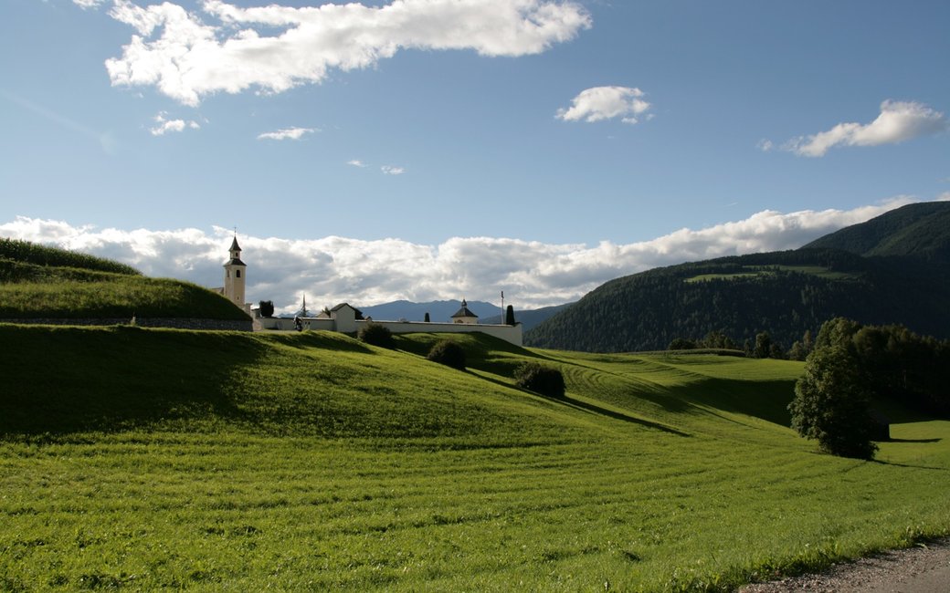
A loop from Oberolang: out on path 39 across open fields to the Salla farms, and back through the forest on the Bödenstraße and path 20. The official route lists 7.7 km and 332 m of ascent.
Recommended all year.
Source: Olang tourist board, read on 6 November 2026.
March to June: ticks in the woods below about 1200 m, most of all from late May to mid-June. Check your dog after the walk.
Source: Province of Trento and Fondazione Edmund Mach, read on 9 November 2026.
December to February (an estimate): the roads and lanes on this walk may be salted when they ice over. Salt hurts dogs’ paws: check them after the walk and rinse them with warm water.
Source: Province of Bolzano weather service, Bozen station temperatures, read on 10 November 2026. German Federal Chamber of Veterinarians, read on 10 November 2026.
Oberolang village centre (official start)
Directions: From Oberolang follow path 39 east through the fields to the Sallahöfe, then return on the Bödenstraße forest road (no number) and path 20, as the official GPX and its figures do. The board’s text also allows returning the same way on path 39 (about 6.6 km).
From ORMA's route audit of the official route description. Follow the mapped ORMA line and local signs.
Start in Oberolang and leave on path 39 through the fields to the Sallahöfe, coming back through the forest on the Bödenstraße: 7.7 km and 332 m of climbing, about three hours. The fields are open and sunny, so go early in summer. Keep your dog on a lead throughout and carry a muzzle; the only water is at the Oberolang fountains.
The trail rating above describes the mountain, and it's the same for every dog. How it suits yours depends on their build, age and health. See this route's match — scored for a medium dog until you add your own, free and in a minute.
Before you go: the dog safety guide · water for dogs on trail · dogs on cable cars · meeting a guardian dog
Planning a few days here? Read our area guide: Lago di Braies & Tre Cime with a dog.
