 ORMA
the Mount of Olives circular walk
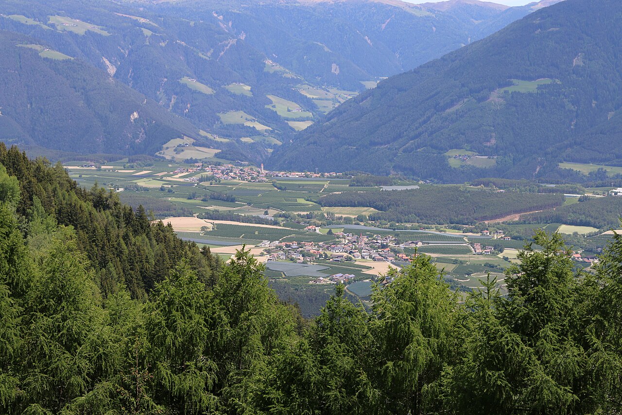
A 0.7 km route near Bressanone / Brixen, imported from the OpenStreetMap hiking network. Passed automated dog-suitability screening: no via ferrata, ladders, or alpine-grade (T3+) sections on record.
This is a point-to-point route, so plan the return: retrace your steps or check local buses; with only 6 m of climbing, it's one of the gentler options in the area for older dogs or hot days.
Snow is possible here from December to February.
Estimated from the walk’s high point (889 m). No tourist board publishes this walk’s season, and every winter is different.
March to June: ticks in the woods below about 1200 m, most of all from late May to mid-June. Check your dog after the walk.
Source: Province of Trento and Fondazione Edmund Mach, read on 9 November 2026.
June to September (an estimate): cows may be out on the pastures. Keep your dog close and give the herds a wide berth.
Source: South Tyrol tourist board, read on 9 November 2026.
Mapped start suggestion, Parking, 108 m from the route. Check current access before travelling.
Do not rely on potential water locations being available or drinkable. Carry enough for the full walk.
Use the live forecast, check local access information and be ready for changing mountain conditions.
The trail rating above describes the mountain, and it's the same for every dog. How it suits yours depends on their build, age and health. See this route's match — scored for a medium dog until you add your own, free and in a minute.
Before you go: the dog safety guide · water for dogs on trail · dogs on cable cars · meeting a guardian dog
