 ORMA
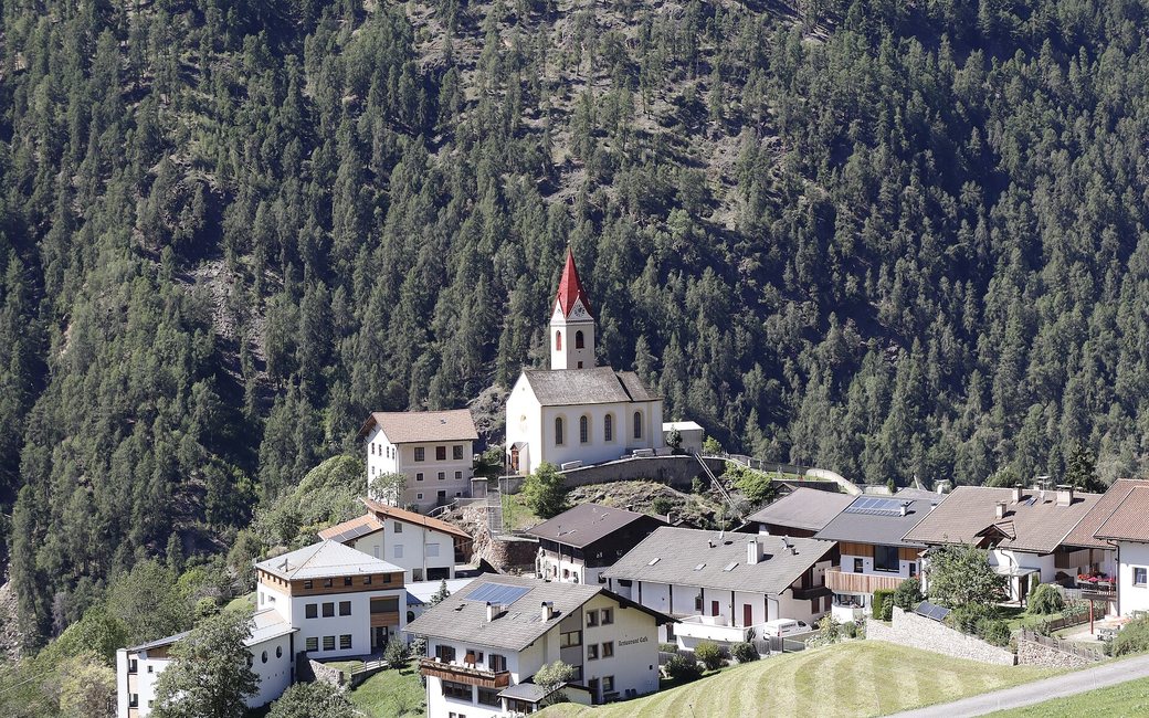
A loop round the hill village of Katharinaberg in the Schnalstal: over farm meadows and through woods past old farms such as Kopfron, Wand and Unterperfl, with views down the valley. The official route lists 8.2 km and 514 m of ascent.
Snow is possible here from December to February.
Estimated from the walk’s high point (1457 m). No tourist board publishes this walk’s season, and every winter is different.
March to April: pine processionary caterpillars come down from the pines below about 1400 m, and they are a danger to dogs. Keep your dog away from pines and from the caterpillars.
Source: South Tyrol forestry service, reported by il Dolomiti, read on 9 November 2026.
Katharinaberg village centre, free car park, bus 261 stop Katharinaberg (official start)
Directions: From Katharinaberg follow the “Katharinaberg Rundweg” signs by Durst and the Versanthöfe, along the Sonnenberg road (route 10A) to Kopfron, then down by Wand and Unterperfl back to the village.
From ORMA's route audit of the official route description. Follow the mapped ORMA line and local signs.
Start in Katharinaberg (bus 261 or the free car park in the village centre) and follow the Katharinaberg Rundweg signs round by Durst, the Sonnenberg road, Kopfron, Wand and Unterperfl: 8.2 km and about 510 m of climbing, two and a half to three hours. Keep your dog on a short lead (1.5 m at most) on the road stretches, through the farms and in the nature park, and take care on the two short steep, narrow sections. Fill up at the fountain on the village square before you go.
The trail rating above describes the mountain, and it's the same for every dog. How it suits yours depends on their build, age and health. See this route's match — scored for a medium dog until you add your own, free and in a minute.
Before you go: the dog safety guide · water for dogs on trail · dogs on cable cars · meeting a guardian dog
