 ORMA
a short ridge loop from the little Mucciòn church past old bird-catching sites
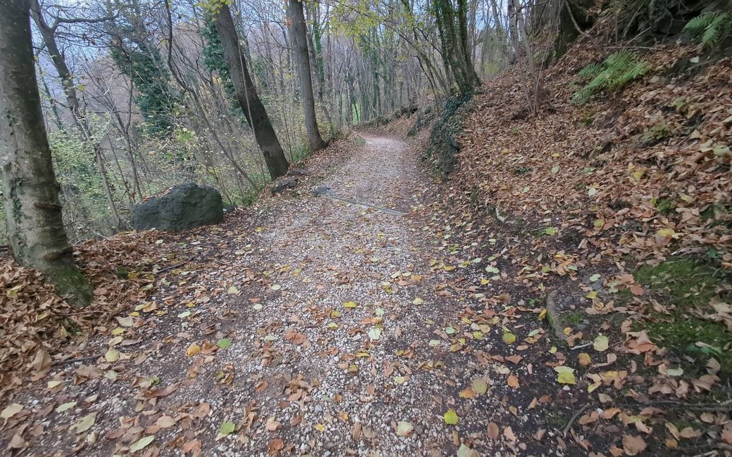
A short, easy loop from the little Mucciòn church along the ridge between the Agno and Leogra valleys, past the sites of old bird-catching roccoli, with views to the Pasubio. The board lists 2.8 km and 72 m up.
Recommended all year.
Source: Outdooractive, read on 21 November 2026.
Winter sun: On the shortest day the sun reaches this walk for about 7.5 hours.
Worked out from the terrain alone (AWS Terrain Tiles): trees, buildings and weather are not counted.
The Chiesetta del Mucciòn above Monte Magrè, the published start
Start at the Chiesetta del Mucciòn, the little church on the pass above Monte Magrè, by the Trattoria Chiesetta del Muccion, the published start.
Route: Take the dirt lane of Località Mucchione and then the Strada dei Rocoli track past the Ex Voto dell’Emigrante wayside shrine, signed for the Anello ecoturistico Piccole Dolomiti. Keep on the Strada dei Rocoli along the ridge past the old Castellani Mondin fountain (1924) to the Capitello Cima wayside shrine, and step out to Località Cima, the saddle on the Agno–Leogra ridge, and back. Follow the Strada dei Rocoli round the loop signed Maronari Lungo, then walk back along the ridge the way you came to the church.
Key turns: Dirt lane of Località Mucchione from the church; Strada dei Rocoli past the Ex Voto dell’Emigrante shrine; along the ridge past the old Castellani Mondin fountain to the Capitello Cima and Località Cima and back; round the Maronari Lungo loop; back along the ridge to the church.
Start at the Mucciòn church above Monte Magrè: 2.8 km and 72 m up, about 50 minutes, as the board lists. The board suggests sunset or dawn for the view over the plain; the restaurants near the start make a good stop. It pairs well with the longer Mucciòn loop from Valdagno.
The trail rating above describes the mountain, and it's the same for every dog. How it suits yours depends on their build, age and health. See this route's match — scored for a medium dog until you add your own, free and in a minute.
Before you go: the dog safety guide · water for dogs on trail · dogs on cable cars · meeting a guardian dog