 ORMA
the Val Stavel climb to the Denza hut under the Presanella
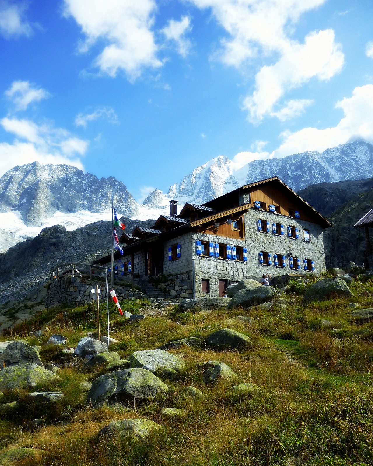
A high walk there and back in the Val di Stavel above Vermiglio on First World War paths to Rifugio Denza, under the north face and glaciers of the Presanella. The APT lists 7.3 km and 594 m of ascent.
Recommended from June to October.
Source: Outdooractive, read on 6 November 2026.
Pozzi Alti car park, Val di Stavel, the APT’s start
Directions: Mountain paths (T2): from the car park by the Forte Pozzi Alti (1,856 m) up the Val di Stavel on First World War paths, through a short tunnel at km 0.7, to Rifugio Denza (2,296 m, km 3.4) at the foot of the north face of Cima Presanella; the little Lago Denza is five minutes beyond. Back down the same way to the car park. The climb to Cima Presanella beyond the hut is mountaineering and not part of this walk.
From ORMA's route audit of the official route description. Follow the mapped ORMA line and local signs.
Start at the Pozzi Alti car park in the Val di Stavel: 7.3 km and about 600 m of climbing, four hours. Keep your dog on a lead of at most 1.5 m and carry a muzzle. There is a short, dark tunnel at km 0.7. The cirque around the hut has no shade: carry water and go early on hot days.
The trail rating above describes the mountain, and it's the same for every dog. How it suits yours depends on their build, age and health. See this route's match — scored for a medium dog until you add your own, free and in a minute.
Before you go: the dog safety guide · water for dogs on trail · dogs on cable cars · meeting a guardian dog
