 ORMA
a nature trail up through the Longrone spruce forest to the Rifugio Siera and back
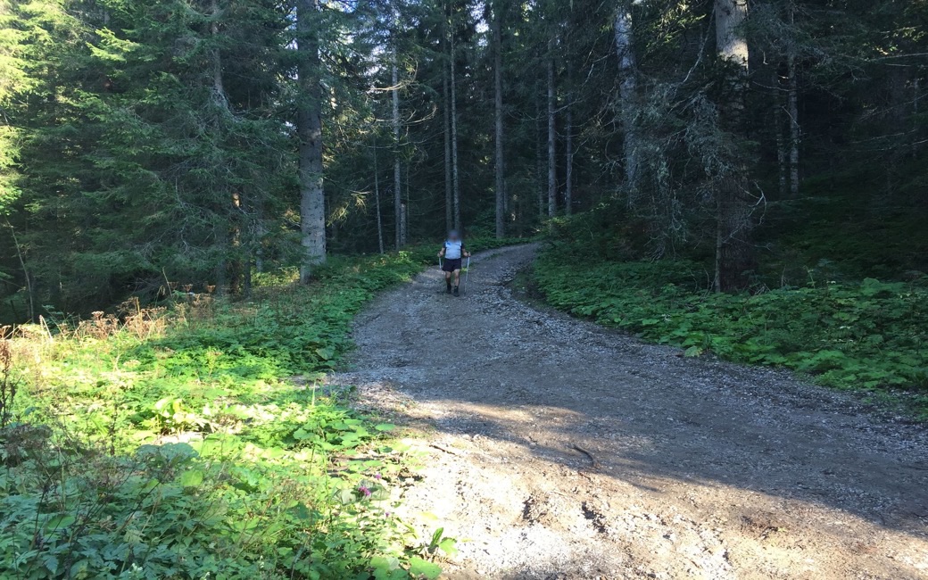
A nature trail from Cima Sappada up through the Longrone spruce forest to the Rifugio Siera on the edge of the Pian dei Larici, with views over Sappada and the Peralba group, and back the same way. The sheet lists 2.1 km and 344 m up one way; there and back it is 4.2 km with 364 m up and down, 1 h 30 to 1 h 55.
Ends away from the start: plan a lift, bus or second car back.
Back the same way on the same path.
Recommended from May to October.
Source: Outdooractive, read on 18 November 2026.
The car park by the Monte Siera chairlift at Cima Sappada, the board’s start
Start at the car park by the valley station of the Monte Siera chairlift at Borgata Cima Sappada, on the SR355, the board’s start.
Trail numbers and route: Take path 319, then follow the red-and-yellow dots of the Longrone nature trail (N1) up through the great spruce forest of the Longrone. The second half is sunnier, with views over Sappada, the Val Sesis and the Peralba group, up to the Rifugio Siera on the northern edge of the Pian dei Larici, beside the top of the chairlift. Come back the same way.
Where to switch: Path 319 from the Monte Siera chairlift car park at Cima Sappada, then the red-and-yellow N1 dots of the Longrone nature trail up through the forest to the Rifugio Siera; back the same way.
Start at the Monte Siera chairlift car park at Cima Sappada: 2.1 km and 344 m up to the Rifugio Siera, about 1 h 15, and 30 to 40 minutes back down the same way, as the CAI Sappada sheet gives. Shady almost all the way, so good on a warm day. Keep your dog on a lead and carry a muzzle.
The trail rating above describes the mountain, and it's the same for every dog. How it suits yours depends on their build, age and health. See this route's match — scored for a medium dog until you add your own, free and in a minute.
Before you go: the dog safety guide · water for dogs on trail · dogs on cable cars · meeting a guardian dog