 ORMA
the loop under the Presanella to the Segantini hut
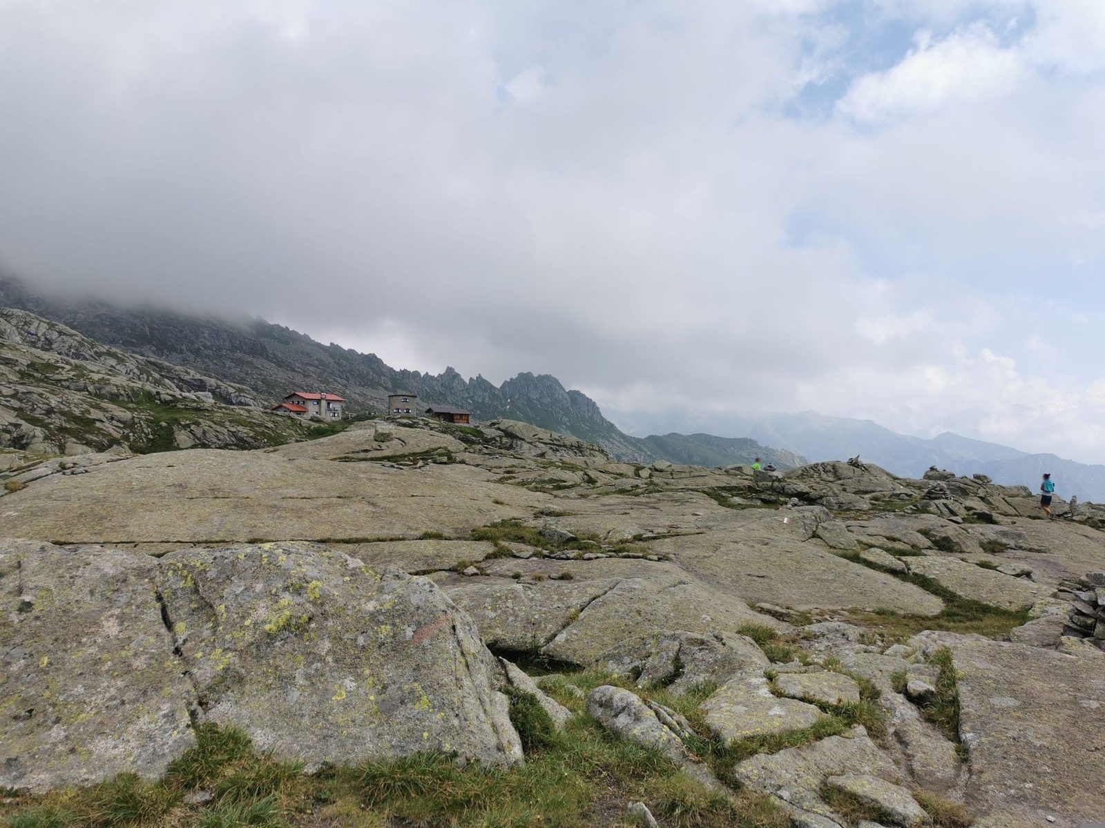
A high loop at the head of the Val Nambrone up a panoramic ridge to the Rifugio Segantini, below the walls of the Presanella. The APT lists 4.9 km and 397 m of ascent.
Recommended from June to October.
Source: Outdooractive, read on 6 November 2026.
The Rifugio Segantini is open from about 1 June to about 4 October (summer 2026 dates; winter dates not yet published).
Source: rifugiosegantini.com, read on 11 November 2026.
Val d’Amola car park, the APT’s start
Directions: Path SAT 211 “Oscar Collini”: from the car park along the little path to the wooden bridge over the Sarca d’Amola; across, right on path 211, which zigzags up the ramp to the wide panoramic ridge and follows it to the foot of the Rifugio Segantini, with the Vallina plain below, the Cornisello ridge and the Passo dell’Om to the right and the walls of the Presanella ahead; back past streams, small waterfalls and lakes to the car park.
From ORMA's route audit of the official route description. Follow the mapped ORMA line and local signs.
Start at the Val d’Amola car park: 4.9 km and about 400 m of climbing, two hours. Keep your dog on a lead and carry a muzzle. The APT recommends it for children from about ten: the path is rocky but not difficult.
The trail rating above describes the mountain, and it's the same for every dog. How it suits yours depends on their build, age and health. See this route's match — scored for a medium dog until you add your own, free and in a minute.
Before you go: the dog safety guide · water for dogs on trail · dogs on cable cars · meeting a guardian dog