 ORMA
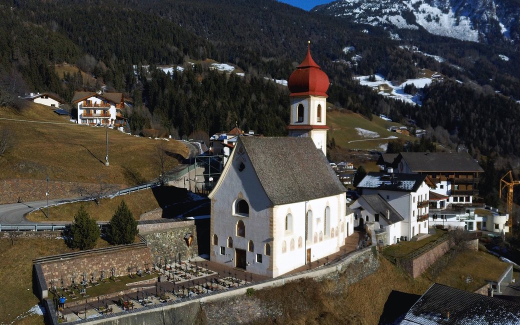
A historic walk on the old postal path from Lajen to St. Ulrich in Gröden, once used by postmen and traders: through the meadows and farms of the Lajen sunny slope, past Tschöfas and St. Peter, with the Langkofel ahead. The official route lists 11.9 km and 500 m of ascent.
Snow is possible here from December to February.
Estimated from the walk’s high point (1282 m). No tourist board publishes this walk’s season, and every winter is different.
March to June: ticks in the woods below about 1200 m, most of all from late May to mid-June. Check your dog after the walk.
Source: Province of Trento and Fondazione Edmund Mach, read on 9 November 2026.
December to February (an estimate): the roads and lanes on this walk may be salted when they ice over. Salt hurts dogs’ paws: check them after the walk and rinse them with warm water.
Source: Province of Bolzano weather service, Bozen station temperatures, read on 10 November 2026. German Federal Chamber of Veterinarians, read on 10 November 2026.
Lajen village square (official start)
Directions: Waymarked “P” for Poststeig: from Lajen past the Ploner butcher’s towards Tschöfas, across fields and meadows above Tanirz into the wood, briefly below the main road at the Felsonnes farms, to St. Peter, the road up to the Pedrutsch inn, a level forest path above Pontives across a steep, partly rocky slope, then the fields of Außerwinkel, the Nevelstraße and the Bahnhofstraße into St. Ulrich.
From ORMA's route audit of the official route description. Follow the mapped ORMA line and local signs.
Start in Lajen and follow the “P” signs to St. Ulrich: 11.9 km, about 500 m up and 390 m down, three and a half hours one way; take the bus back. Keep your dog on a short lead (1.5 m at most), carry a muzzle and keep to the path through the meadows. Take care on the short road stretches near Felsonnes and on the steep, rocky slope above Pontives. Water is easy to find along the way.
The trail rating above describes the mountain, and it's the same for every dog. How it suits yours depends on their build, age and health. See this route's match — scored for a medium dog until you add your own, free and in a minute.
Before you go: the dog safety guide · water for dogs on trail · dogs on cable cars · meeting a guardian dog
Planning a few days here? Read our area guide: Dog-friendly hikes in Val Gardena.
