 ORMA
path 490 through the forest under the Bosconero peaks
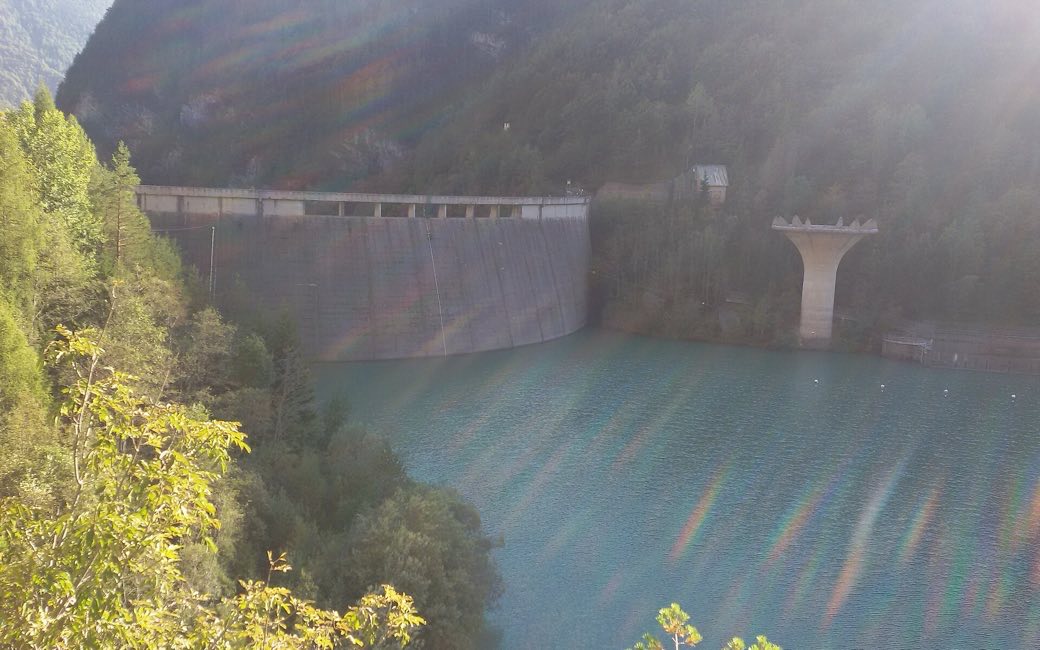
A steady forest climb from the Pontesei reservoir on path 490 into the wild Val Bosconero, to a small hut with a view to the Civetta, and back the same way. The board lists 6.7 km and 642 m up.
Snow is possible here from December to February.
Estimated from the walk’s high point (1366 m). No tourist board publishes this walk’s season, and every winter is different.
March to June: ticks in the woods below about 1200 m, most of all from late May to mid-June. Check your dog after the walk.
Source: Province of Trento and Fondazione Edmund Mach, read on 9 November 2026.
Pontesei on the SP251, the board’s start
Start at Pontesei (825 m) on the SP251, just above the reservoir, where a seasonal bus stops, the board’s start.
Trail numbers and route: Take path 490 (signposted). At 925 m ignore path 485 on the right. Higher up a path joins from the left, and at Pian del Mugon (1,060 m) path 491 leaves on the left and another path on the right: keep on path 490. Cross the stony bed of the Val Bosconero and two small streams, pass the junction where path 485 joins from the right, and reach the Rifugio Bosconero (1,457 m), about 1 h 45 up. Come back the same way.
Where to switch: Path 490 all the way from Pontesei to the Rifugio Bosconero: ignore path 485 at 925 m, path 491 at Pian del Mugon and path 485 again below the hut; back the same way.
Start at Pontesei on the SP251: 6.7 km and 642 m up, about 4 hours there and back, as the board lists (about 1¾ hours up). A seasonal bus stops at Pontesei. Fit dogs only; carry water and a muzzle.
The trail rating above describes the mountain, and it's the same for every dog. How it suits yours depends on their build, age and health. See this route's match — scored for a medium dog until you add your own, free and in a minute.
Before you go: the dog safety guide · water for dogs on trail · dogs on cable cars · meeting a guardian dog
