 ORMA
the 1986 sculptures between the village and the lake
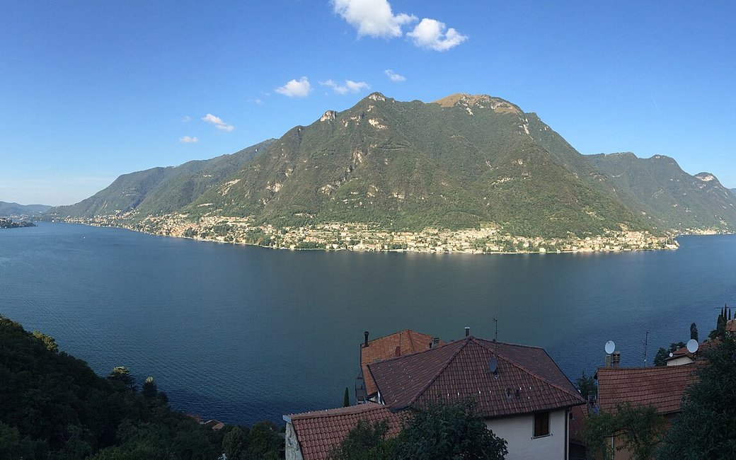
A short loop from the town hall of Pognana Lario down to the lake and back along the old Strada Regia, past the ten stone sculptures of the 1986 symposium. The portal lists 4.2 km and 160 m of ascent.
Snow is possible here from December to February.
Estimated from the walk’s high point (336 m). No tourist board publishes this walk’s season, and every winter is different.
Pognana Lario town hall, the published start
Directions: From the town hall (sculptures 1–3) left along the provincial road towards Como, then right down the mule track of via Imbarcadero and via San Fedele to the lakeshore (sculpture 4); about 500 m along the lakeside mule track, back up to the provincial road and along it for about 400 m towards Bellagio (sculpture 5); on the mule track through the village to the church of San Miro (sculpture 6), along the Strada Regia towards Canzaga under the houses of the Ponte delle Capre to the church of the Santissima Trinità (sculpture 7); down via Aldo Moro (sculptures 8 and 9), a few metres along the provincial road towards Como (sculpture 10), and back by via Giacomo Matteotti to the town hall.
From ORMA's route audit of the official route description. Follow the mapped ORMA line and local signs.
Start at the town hall in Pognana Lario: 4.2 km and 160 m of climbing, about two hours. Keep your dog on a short lead, above all on the 400 m of provincial road, and carry a muzzle. There is little shade: avoid midday in summer.
The trail rating above describes the mountain, and it's the same for every dog. How it suits yours depends on their build, age and health. See this route's match — scored for a medium dog until you add your own, free and in a minute.
Before you go: the dog safety guide · water for dogs on trail · dogs on cable cars · meeting a guardian dog
