 ORMA
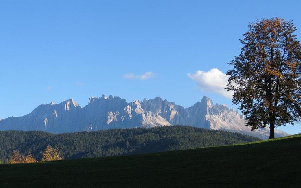
The Planets Path at Gummer: a 9.1 km loop from the Max Valier observatory across the sunny plateau above the Eggental, with a scale model of the solar system along the way. Path 5 leads east past the Oberegger farm (Mars) to Malgeier (Saturn), down by a small moor and across the provincial road; paths 1/3 and 1 climb past the Lärchenwald inn (Uranus) to the high point near 1,420 m (Neptune), and path 5A returns by the Learn pond and Tschigg (Pluto). About 3 hours and 262 m of up and down; officially easy to walk, and tagged dog-friendly.
Karneid's dog regulation requires a lead of at most 1.5 m on all public ground, inside and outside the village, and owners must carry a muzzle. Dogs are not allowed on farmed meadows and fields, and may not bathe in fountains or cattle troughs.
Snow is possible here from December to February.
Estimated from the walk’s high point (1397 m). No tourist board publishes this walk’s season, and every winter is different.
June to September (an estimate): cows may be out on the pastures. Keep your dog close and give the herds a wide berth.
Source: South Tyrol tourist board, read on 9 November 2026.
December to February (an estimate): the roads and lanes on this walk may be salted when they ice over. Salt hurts dogs’ paws: check them after the walk and rinse them with warm water.
Source: Province of Bolzano weather service, Bozen station temperatures, read on 10 November 2026. German Federal Chamber of Veterinarians, read on 10 November 2026.
Max Valier observatory, Obergummer (official start; Gasthaus Unteregger beside it)
Directions: Start at the Max Valier observatory in Obergummer. Walk north past the Untereggerhof to the Oberegger farm. Go round the farm and follow path 5 east, up to the Malgeier farm. Take the farm road north, then path 5 down through the forest to the biotope. Turn north, cross the main road and follow path 1/3 to the Landgasthaus Lärchenwald. Follow path 1 past the Jaiterhof towards Haus Waldpeter, then the planet signs down through the forest to the Schenk car park by the Lantschnay bus stop. Follow path 5A past the Learn pond. After the Hinteregger farm turn right at the forest edge towards the Edenhof, then follow the planet signs past the Tschigg farm back to the start.
From ORMA's route audit of the official route description. Follow the mapped ORMA line and local signs.
Keep your dog on a short lead (1.5 m at most) and carry a muzzle, as Karneid requires, and keep it off the meadows; the loop passes several working farms and cowsheds. There is nowhere to eat or drink on the loop and no mapped tap, so bring water for you both; the Unteregger inn is at the start. Take care crossing the provincial road. Only about a third is in forest, so it is warm on sunny afternoons. Through the moor near Malgeier, keep your dog close so it does not disturb wildlife.
The trail rating above describes the mountain, and it's the same for every dog. How it suits yours depends on their build, age and health. See this route's match — scored for a medium dog until you add your own, free and in a minute.
Before you go: the dog safety guide · water for dogs on trail · dogs on cable cars · meeting a guardian dog
