 ORMA
a short loop through the nature reserve of the Zone earth pyramids, tall columns of glacial clay capped by boulders
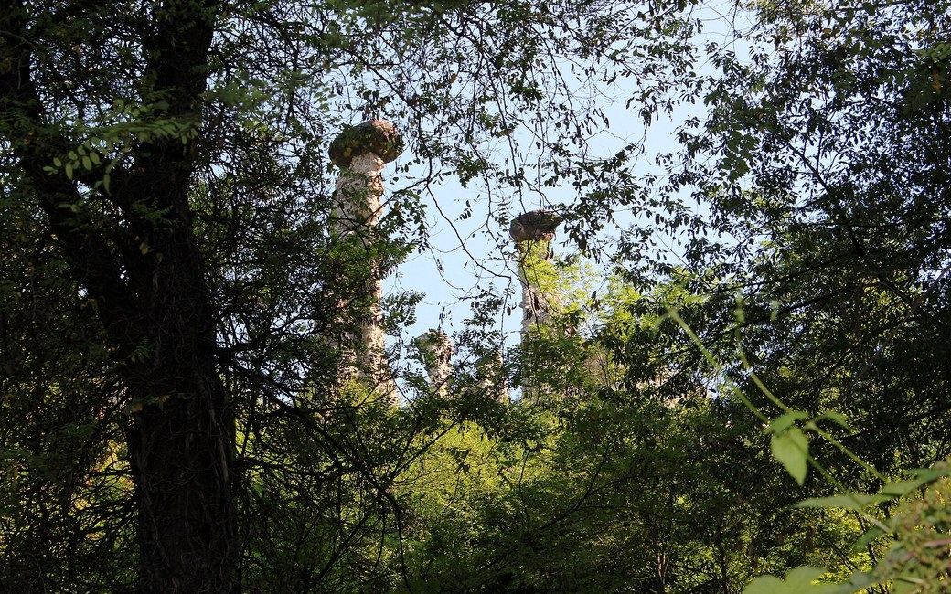
A short loop through the regional nature reserve of the Zone earth pyramids, above Lake Iseo: tall columns of glacial clay, each capped by a boulder, seen from a string of viewpoints along a woodland path, with the return on the old Strada Valeriana to the hamlet of Cislano. Visit Lake Iseo lists 2.6 km, 162 m up, 55 min.
Usually snow-free all year. After a cold spell, snow can lie for a few days from December to February.
Estimated from the walk’s high point (611 m). No tourist board publishes this walk’s season, and every winter is different.
Winter sun: On the shortest day the sun reaches this walk for about 4.5 hours.
Worked out from the terrain alone (AWS Terrain Tiles): trees, buildings and weather are not counted.
The church of San Giorgio in Cislano, Zone, the published start
Start at the church of San Giorgio in Cislano, a hamlet of Zone, where there are a large car park, an information point and a bar, the published start.
Trail numbers and route: Walk past the small playground towards the church and take the path on the right, with a green panel for the pedestrian entrance to the reserve. In a few minutes you reach the reserve entrance proper, where a sign sends you down the path on the right, past the first erratic boulder with its panel and the first of several viewpoints over the pyramids, all downhill for now. At the fork with Monte Marone to the right and the Sentiero delle Piramidi to the left, turn left: from here the path climbs to the end, past three more viewpoints, the last beside the provincial road to Zone, by a drinking fountain. Carry on along the path on the left, which soon joins the old Strada Valeriana; turn left onto it and follow it to the hamlet of Cislano and back to the start.
Where to switch: Path on the right before the church (pedestrian entrance to the reserve); right and down from the reserve entrance; left at the fork onto the Sentiero delle Piramidi (Monte Marone to the right); left onto the old Strada Valeriana back to Cislano.
Park at the church of San Giorgio in Cislano: 2.6 km, 162 m up and 161 m down, about 55 min as the board gives. Entry to the reserve costs €2 from age 7 (commune regulation of 2022). Avoid it after rain or in snow. Keep your dog on a lead and carry a muzzle.
The trail rating above describes the mountain, and it's the same for every dog. How it suits yours depends on their build, age and health. See this route's match — scored for a medium dog until you add your own, free and in a minute.
Before you go: the dog safety guide · water for dogs on trail · dogs on cable cars · meeting a guardian dog
