 ORMA
a mule-track climb to the mountain huts of Namos and back
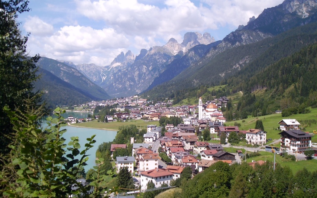
A short, steep climb from the Santa Caterina chapel above Lake Auronzo on paths 17 and 19 to the mountain huts of Namos and the clearing of Pian de Namos, and back the same way. The board lists 2 km one way, just under an hour; there and back it is 4 km with 271 m up and down.
Recommended from May to October.
Source: Outdooractive, read on 16 November 2026.
March to June: ticks in the woods below about 1200 m, most of all from late May to mid-June. Check your dog after the walk.
Source: Province of Trento and Fondazione Edmund Mach, read on 9 November 2026.
The chapel of Santa Caterina d’Alessandria at Cella (Villapiccola), by Lake Santa Caterina, the board’s start
Start at the little chapel of Santa Caterina d’Alessandria in the hamlet of Cella (Villapiccola), by the Lake Santa Caterina dam, the board’s start. There are a few parking places on the SR48 just before the dam.
Trail numbers and route: Follow path 17, leaving path 18 on your right. After about 700 m on a gentle slope, turn right onto path 19: a steep mule track climbs to Namos, with its mountain huts. Beyond it the climb eases through mixed spruce, fir and beech woods to the clearing of Pian de Namos. The board suggests going on down by paths 20 and 18; ORMA’s walk goes back the same way, on paths 19 and 17.
Where to switch: Path 17 from the chapel, leaving path 18 on the right; after about 700 m right onto path 19, steeply up to Namos and gently on to Pian de Namos; back the same way on paths 19 and 17.
Start at the Santa Caterina chapel by the lake: about an hour up to Pian de Namos, as the board lists, and the same way back. The mule track to Namos is short but steep, so go slowly with your dog, especially on the way down.
The trail rating above describes the mountain, and it's the same for every dog. How it suits yours depends on their build, age and health. See this route's match — scored for a medium dog until you add your own, free and in a minute.
Before you go: the dog safety guide · water for dogs on trail · dogs on cable cars · meeting a guardian dog
Planning a few days here? Read our area guide: Lago di Braies & Tre Cime with a dog.
