 ORMA
a park loop from Còler to the Saènt waterfalls
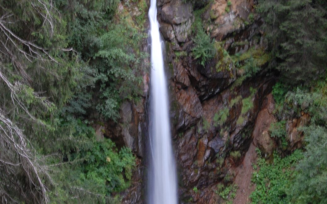
A loop in the Stelvio National Park from Còler along the Rabbiés torrent to Malga Stablasolo, up to the Plan de le Scalace terrace and down past the Saènt waterfalls, the most spectacular in the park. The board lists 6.4 km and 430 m up.
Recommended from May to October.
Source: Outdooractive, read on 11 November 2026.
March to April: pine processionary caterpillars come down from the pines below about 1400 m, and they are a danger to dogs. Keep your dog away from pines and from the caterpillars.
Source: Province of Trento, forestry service, read on 9 November 2026.
June to September (an estimate): cows may be out on the pastures. Keep your dog close and give the herds a wide berth.
Source: South Tyrol tourist board, read on 9 November 2026.
Ramoni car park at Còler, upper Val di Rabbi, the board’s start
This walk has no trail number of its own: follow these landmarks
Start at the Ramoni car park at Còler, in the upper Val di Rabbi, the board’s start.
Directions: APT Valli di Sole, Peio e Rabbi, checked 11 November 2026.
Start at the Ramoni car park at Còler: 6.4 km and 430 m up, about 2½ hours, as the board lists. In summer the road up the valley is closed to cars by day, so arrive before 10:00 or take the Stelviobus from Rabbi Fonti. Wear boots with grip for the wet waterfall steps.
The trail rating above describes the mountain, and it's the same for every dog. How it suits yours depends on their build, age and health. See this route's match — scored for a medium dog until you add your own, free and in a minute.
Before you go: the dog safety guide · water for dogs on trail · dogs on cable cars · meeting a guardian dog
