ORMA logoORMA
All trails › Dolomites, Italy › Val di Sole

Wildlife trail in the Val di Peio

a park loop from the Fontanino to Malga Paludèi and the Val Piana
Best time: April to November Caution terrain Verified by ORMA
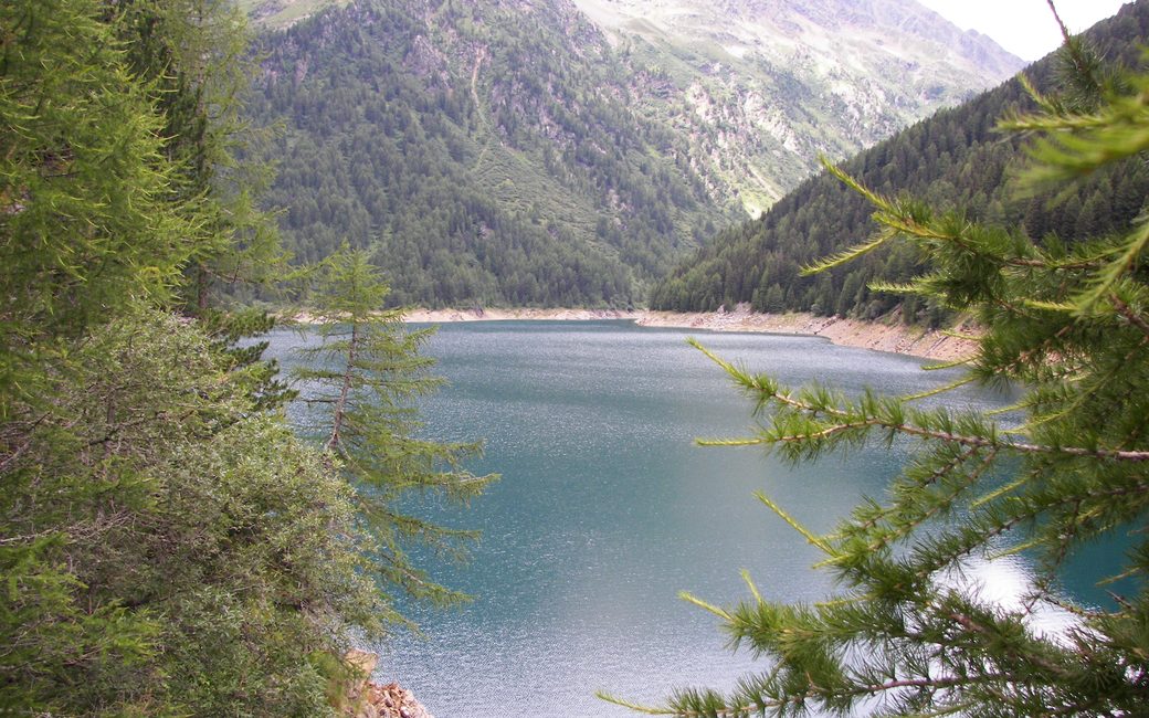
A blue-green mountain lake seen through larch branches, with forested slopes and a high green valley behind
C
Lago di Pian Palù by gian luca bucci CC BY 3.0 Cropped for display.

A long loop in the Stelvio National Park from the Fontanino di Celentino past Malga Giumella and Malga Paludèi into the Val Piana, where red deer and chamois are easy to spot in summer, and back past Lagostèl and old charcoal pits. The board lists 12.9 km and 799 m up.

Distance
12.9 km
Elevation gain
799 m
Highest point
2456 m
Duration
5 h
Terrain
Forest road and mountain path
Trail rating
Caution terrain
Area
Fontanino di Celentino – Malga Paludèi – Val Piana, Val di Peio · Dolomites, Italy
Open the full trail guide →
2456 m 1723 m 13.1 km
Elevation profile: lowest 1723 m, highest 2456 m.

When to go

  1. January: Outside the season
  2. February: Outside the season
  3. March: Outside the season
  4. April: Recommended
  5. May: Recommended
  6. June: Recommended
  7. July: Recommended
  8. August: Recommended
  9. September: Recommended
  10. October: Recommended
  11. November: Recommended
  12. December: Outside the season

Recommended from April to November.

Source: Outdooractive, read on 11 November 2026.

For your dog

June to September (an estimate): cows may be out on the pastures. Keep your dog close and give the herds a wide berth.

Source: South Tyrol tourist board, read on 9 November 2026.

Where to start

Park car park at the Fontanino di Celentino, Val del Monte, the board’s start

How to follow this route

This walk has no trail number of its own: follow these landmarks

Start at the park’s car park at the Fontanino di Celentino, in the Val del Monte above Peio Fonti, the board’s start.

  1. Park car park at the Fontanino di Celentino
  2. Forest road to Malga Giumella
  3. Path SAT 124 up to Malga Paludèi (2,106 m)
  4. Path 110, then path 141 up the Val Piana
  5. Down to Lagostèl and past the charcoal pits
  6. Path 124 back to the Fontanino

Directions: APT Valli di Sole, Peio e Rabbi, checked 11 November 2026.

Water on trail

Rifugi & refreshment

Good to know

Start at the Fontanino di Celentino car park above Peio Fonti: 12.9 km and 799 m up, about 5 hours, as the board lists. Arrive early, carry water for the open upper part, and keep your dog on a short lead in the park.

Verified by ORMA on 11 Nov 2026. Check current conditions before setting out.

Is this trail right for your dog?

The trail rating above describes the mountain, and it's the same for every dog. How it suits yours depends on their build, age and health. See this route's match — scored for a medium dog until you add your own, free and in a minute.

Before you go: the dog safety guide · water for dogs on trail · dogs on cable cars · meeting a guardian dog

Nearby trails