 ORMA
the three-huts walk above Cortina
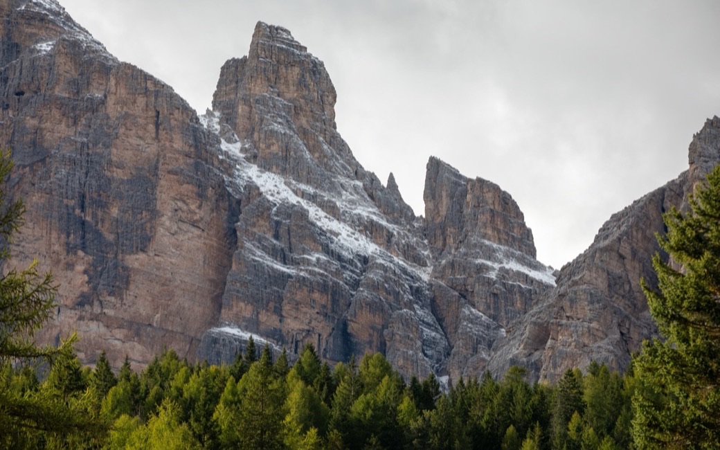
A gentle loop on the wooded slope west of Cortina from Malga Peziè de Parù to the Locanda del Cantoniere and Baita Resch, three traditional places to eat. The board lists 4.3 km and 185 m of ascent.
Recommended from May to October.
Source: Outdooractive, read on 6 November 2026.
In winter, 0.6 km of this walk is a ski run (Rosà, Pista di Collegamento). Expect skiers there while the runs are open, usually from December to April (an estimate).
Read off the map (OpenStreetMap).
Malga Pezié de Parù, the board’s start
Directions: Paths 406 and 403: from the car park by Malga Peziè de Parù on path 406, the Sentiero Allaria, to the Locanda del Cantoniere on the Dolomites road (about 30 minutes), on to the junction with path 403 and right to Baita Resch, then back on path 406 to the start.
From ORMA's route audit of the official route description. Follow the mapped ORMA line and local signs.
Start at Malga Peziè de Parù: 4.3 km, about 190 m of climbing, two hours and a quarter, with three places to eat on the way. Keep your dog on a lead, as Cortina requires, and close where the path meets the Passo Giau road.
The trail rating above describes the mountain, and it's the same for every dog. How it suits yours depends on their build, age and health. See this route's match — scored for a medium dog until you add your own, free and in a minute.
Before you go: the dog safety guide · water for dogs on trail · dogs on cable cars · meeting a guardian dog
