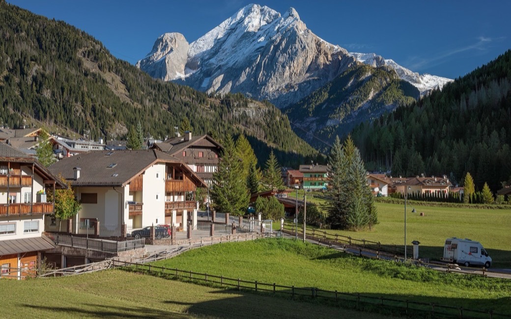
A walk on the sunny slope from Canazei to Pian, one of the oldest hamlets in the Val di Fassa, past old farms and restored wooden barns facing the Sassolungo. The APT lists 6.2 km and 152 m of ascent.
Distance
6.2 km
Elevation gain
152 m
Highest point
1516 m
Duration
2 h
Terrain
Village lanes, farm tracks and short forest paths
Trail rating
Caution terrain
Area
Canazei – Pian – Campitello, Val di Fassa · Dolomites, Italy
December to February (an estimate): the roads and lanes on this walk may be salted when they ice over. Salt hurts dogs’ paws: check them after the walk and rinse them with warm water.
This walk has no trail number of its own: follow these landmarks
Start at the tourist office on the main square of Canazei, the tourist board’s start.
From the tourist office on the main square, walk down Strèda Roma past the playground. At the junction carry straight on along Strèda del Ciuch, beside the Gries meadows. Leaving Canazei, the lane enters the wood for about 400 m, then follows the bank of the Avisio to the first houses of Campitello.
Take Strèda Veia to the square, then Strèda dò Ruf. Where Strèda de Salin meets Strèda Sènc Felip e Giacum, climb the steps on the right (the old Col Rodella chairlift station).
Carry on and, opposite the Marian shrine, keep right up the steep path lined with the chapels of the Via Crucis, built in 1760, to Pian, one of the oldest settlements in the valley.
Go down to the right on Strèda de Pian to a hairpin, where you take the “So Ronch” forest road on the left. Follow it to the car park of the Park Hotel Il Caminetto, cross it to the left and come out on the main road.
Cross the road and, just after the wooden sign at the start of Canazei, take the gravel lane down on the right onto Strèda Franz Dantone. At the junction with Strèda del Ciuch, come back the way you came.
Start in Piaz G. Marconi in Canazei: 6.2 km, about 150 m of climbing, two hours. Keep your dog on a short lead (1.5 m at most) past the farms and carry a muzzle. Fountains in Canazei, in Campitello and at Pian; plenty of bars in Campitello halfway.
Verified by ORMA on 24 Oct 2026. Check current conditions before setting out.
Is this trail right for your dog?
The trail rating above describes the mountain, and it's the same for every dog. How it suits yours depends on their build, age and health. See this route's match — scored for a medium dog until you add your own, free and in a minute.
 ORMA