 ORMA
a panoramic loop on the slopes above Lüsen
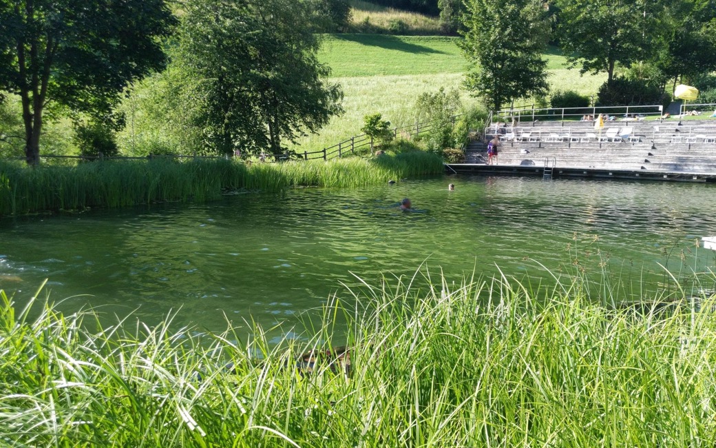
A loop on the slopes above Lüsen, on the waymarked Panoramaweg: up a mountain path to the Rungg farms, across the slope on the panoramic path and down past the bathing pond into the village. It is about 5.6 km with some 214 m of climb, as measured by ORMA (the province register gives only the length).
Snow is possible here from December to February.
Estimated from the walk’s high point (1258 m). No tourist board publishes this walk’s season, and every winter is different.
March to June: ticks in the woods below about 1200 m, most of all from late May to mid-June. Check your dog after the walk.
Source: Province of Trento and Fondazione Edmund Mach, read on 9 November 2026.
On the Unterrungger Straße at the hamlet of Rader, below Lüsen
This walk has no trail number of its own: follow these landmarks
Start on the Unterrungger Straße at the hamlet of Rader, below Lüsen; the loop is waymarked “Panoramaweg” all the way.
Directions: Autonome Provinz Bozen, hiking-trail register, checked 18 November 2026.
A 5.6 km loop with about 214 m up and 224 m down, roughly two hours. About 2.5 km is mountain path, narrow and uneven in places: keep your dog close there. Keep it on a short lead on the lanes and in the village. Water in Lüsen, by the fire station, about three quarters of the way round.
The trail rating above describes the mountain, and it's the same for every dog. How it suits yours depends on their build, age and health. See this route's match — scored for a medium dog until you add your own, free and in a minute.
Before you go: the dog safety guide · water for dogs on trail · dogs on cable cars · meeting a guardian dog