 ORMA
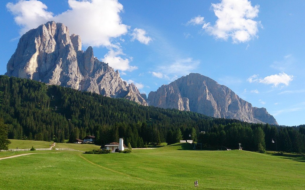
A family nature trail on the Monte Pana plateau above St. Christina in Gröden: through open meadows and a little wood, past Franz Baumann’s mountain chapel and a small pond, with the Langkofel rising behind. The official route lists 2.7 km and 64 m of ascent.
Snow is likely here from December to April.
Estimated from the walk’s high point (1687 m). No tourist board publishes this walk’s season, and every winter is different.
No bus in the South Tyrol timetable stops at Monte Pana outside winter: the only one, ski bus 12, ran from 14 December 2025 to 7 April 2026.
Source: South Tyrol bus timetable (STA open data), read on 12 November 2026.
In winter, 0.8 km of this walk is a cross-country ski track. Expect skiers there while the runs are open, usually from December to April (an estimate).
Read off the map (OpenStreetMap).
Car park at the top of Monte Pana (official start)
Directions: Signed as PanaRaida: from the car park at the top of Monte Pana towards the Monte Pana Dolomites Hotel, past the chapel by the architect Franz Baumann, through meadows and wood to a small pond, and back by the Monte Pana cross-country centre.
From ORMA's route audit of the official route description. Follow the mapped ORMA line and local signs.
Drive or take the bus up to Monte Pana and follow the PanaRaida signs: 2.7 km, barely 60 m of climbing, about 45 minutes. Keep your dog on a short lead (1.5 m at most), carry a muzzle and stay on the path through the meadows. There is almost no shade and no water on the loop, so bring water and avoid hot middays.
The trail rating above describes the mountain, and it's the same for every dog. How it suits yours depends on their build, age and health. See this route's match — scored for a medium dog until you add your own, free and in a minute.
Before you go: the dog safety guide · water for dogs on trail · dogs on cable cars · meeting a guardian dog
Planning a few days here? Read our area guide: Dog-friendly hikes in Val Gardena.
