 ORMA
the climb from Ortisè to the Stabli pastures
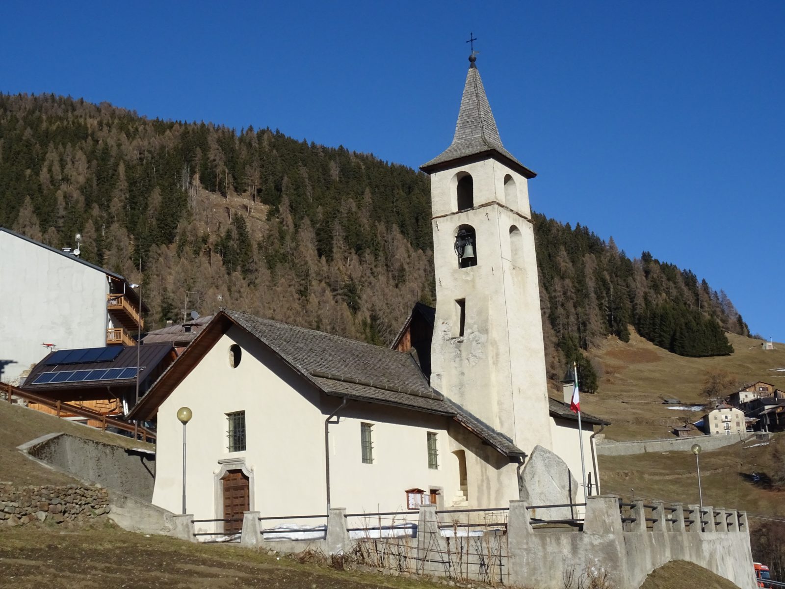
An easy hillside road from the mountain village of Ortisè to the restored Malga Stabli, a terrace over the Val di Sole with views of the Brenta Dolomites and the Presanella. The APT lists 7.2 km and 342 m of ascent.
Recommended from April to October.
Source: Outdooractive, read on 6 November 2026.
June to September (an estimate): cows may be out on the pastures. Keep your dog close and give the herds a wide berth.
Source: South Tyrol tourist board, read on 9 November 2026.
Car park by the church, Ortisè, the APT’s start
Directions: Not a numbered route: from the car park by the church in Ortisè (1,477 m) along the gravel road towards Malga Stabli (1,814 m), a natural terrace over the Val di Sole with views of the Brenta Dolomites and the Presanella; fine with a pushchair, and open to cars without a permit as far as the malga, which serves food. Back the same way.
From ORMA's route audit of the official route description. Follow the mapped ORMA line and local signs.
Park by the church in Ortisè: 7.2 km out and back and about 340 m of climbing, two and a half hours. Keep your dog on a lead, especially near the cattle at Malga Stabli and when cars pass.
The trail rating above describes the mountain, and it's the same for every dog. How it suits yours depends on their build, age and health. See this route's match — scored for a medium dog until you add your own, free and in a minute.
Before you go: the dog safety guide · water for dogs on trail · dogs on cable cars · meeting a guardian dog
