 ORMA
down the Tallner meadows from the cable car
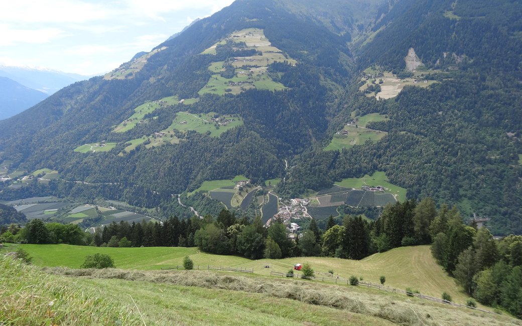
A mostly downhill walk from the top of the Verdins–Tall cable car past the Oberkirn and Prennanger inns, across the Prenn meadows and down through Untertall to Verdins. The board lists 7.3 km, 121 m up and 694 m down, 2 h 15.
Recommended from May to October.
Source: Outdooractive, read on 6 November 2026.
The Verdins–Tall cable car runs from 28 March to 8 November and from 26 December to 6 January (2026/27 dates). The walk needs it.
Source: Seilbahn Verdins, read on 9 November 2026.
March to June: ticks in the woods below about 1200 m, most of all from late May to mid-June. Check your dog after the walk.
Source: Province of Trento and Fondazione Edmund Mach, read on 9 November 2026.
Top station of the Verdins–Tall cable car, the board’s start
Start: Ride the Verdins–Tall cable car up from Verdins and start at its top station, the board’s start.
Trail numbers and route: Take path 40A towards Prenn, past the Oberkirn inn and the Portnerhof farm, across meadows and through a stretch of woods to the Prennanger inn. In Prenn, after the church, turn left downhill; at the Alpenblick inn continue on path 4A across the Prenn mountain meadows and through the woods to Untertall and the Untermeinlechner inn. From there a level path leads back to the valley station of the cable car in Verdins.
Where to switch: Two changes: in Prenn, after the church, leave path 40A downhill to the left; at the Alpenblick inn follow path 4A down to Untertall.
Take the cable car up from Verdins: 7.3 km one way back down to the valley station, 121 m up and 694 m down, about two and a quarter hours; bus 231 or 234 links Verdins with Schenna and Meran. Keep your dog on a lead of at most 1.5 m and carry a muzzle. Water at Oberkirn and inns along the way.
The trail rating above describes the mountain, and it's the same for every dog. How it suits yours depends on their build, age and health. See this route's match — scored for a medium dog until you add your own, free and in a minute.
Before you go: the dog safety guide · water for dogs on trail · dogs on cable cars · meeting a guardian dog
