 ORMA
three alms on a shady slope
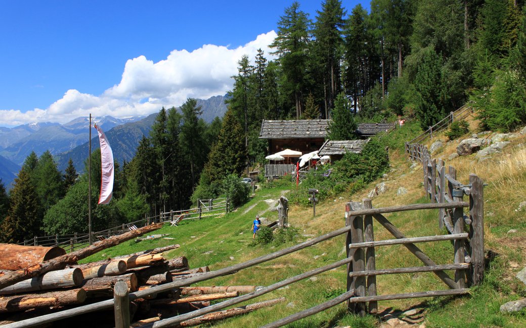
A shady loop on the Nörderberg above Naturns from Kreuzbrünnl to the Naturnser, Zetn and Mausloch alms on the alm path. The board lists 11 km, 541 m up and 541 m down, 3 h 54.
Recommended from May to October.
Source: Outdooractive, read on 6 November 2026.
June to September (an estimate): cows may be out on the pastures. Keep your dog close and give the herds a wide berth.
Source: South Tyrol tourist board, read on 9 November 2026.
The Kreuzbrünnl car park on the Nörderberg above Naturns, the board’s start
Start: Drive or take the hiker taxi up the farm road on the Nörderberg to the Kreuzbrünnl car park (about 1,500 m), the board’s start.
Route: Take the wide forest road up through the woods to the Naturnser Alm, the highest point of the walk. From the alm follow the picturesque, almost level alm path to the Zetn Alm (1,747 m) and on to the Mausloch Alm, the last of the three. From the Mausloch Alm head back down the wide forest road, descending steadily but gently, to the Kreuzbrünnl car park.
Key turns: Key turns: at the Naturnser Alm onto the alm path; at the Mausloch Alm onto the forest road down to Kreuzbrünnl.
Drive or take the hiker taxi to the Kreuzbrünnl car park: an 11 km loop, 541 m up and down, about four hours. Keep your dog on a lead of at most 1.5 m and carry a muzzle. Drinking water at km 0.3, km 3 and km 5.8; the three alms serve food in summer. Shady and cool: a good walk for hot days.
The trail rating above describes the mountain, and it's the same for every dog. How it suits yours depends on their build, age and health. See this route's match — scored for a medium dog until you add your own, free and in a minute.
Before you go: the dog safety guide · water for dogs on trail · dogs on cable cars · meeting a guardian dog
