 ORMA
path 32B up to the old sulphur-spring baths
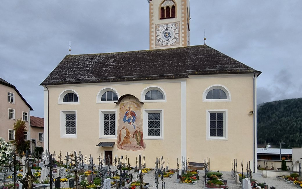
A walk from Valdaora di Sotto on path 32B, across meadows past Casola and through quiet forest up to Bad Bergfall and its sulphur springs. The board lists 4.9 km, 318 m up and 25 m down.
Recommended all year.
Source: Outdooractive, read on 6 November 2026.
March to June: ticks in the woods below about 1200 m, most of all from late May to mid-June. Check your dog after the walk.
Source: Province of Trento and Fondazione Edmund Mach, read on 9 November 2026.
December to February (an estimate): the roads and lanes on this walk may be salted when they ice over. Salt hurts dogs’ paws: check them after the walk and rinse them with warm water.
Source: Province of Bolzano weather service, Bozen station temperatures, read on 10 November 2026. German Federal Chamber of Veterinarians, read on 10 November 2026.
Valdaora di Sotto (Niederolang), by the parish church, the board’s start
Start in Valdaora di Sotto (Niederolang), by the parish church of St. Peter and Agnes, the board’s start, and look for the signs for path 32B.
Trail numbers and route: Follow path 32B south out of the village on the lane In der Länge, past the cemetery wall, then on quiet farm roads across the meadows past Casola. The path climbs on forest roads through the woods to Bad Bergfall (Bagni di Pervalle), known for its sulphur springs, where the walk ends. Come back the same way.
Where to switch: None: stay on 32B, which the board describes as well signposted, all the way to Bad Bergfall. Do not take the forest roads that branch off towards Geiselsberg or Furkelpass.
Start by the parish church of Valdaora di Sotto and follow path 32B: 4.9 km one way, about 320 m up, an hour and a half; come back the same way. Keep your dog on a lead of at most 1.5 m and carry a muzzle, as Olang requires, and keep off the hay meadows. Drinking water at the start, at km 1.1 and near Bad Bergfall.
The trail rating above describes the mountain, and it's the same for every dog. How it suits yours depends on their build, age and health. See this route's match — scored for a medium dog until you add your own, free and in a minute.
Before you go: the dog safety guide · water for dogs on trail · dogs on cable cars · meeting a guardian dog
Planning a few days here? Read our area guide: Lago di Braies & Tre Cime with a dog.
