 ORMA
down from the Corvatsch middle station
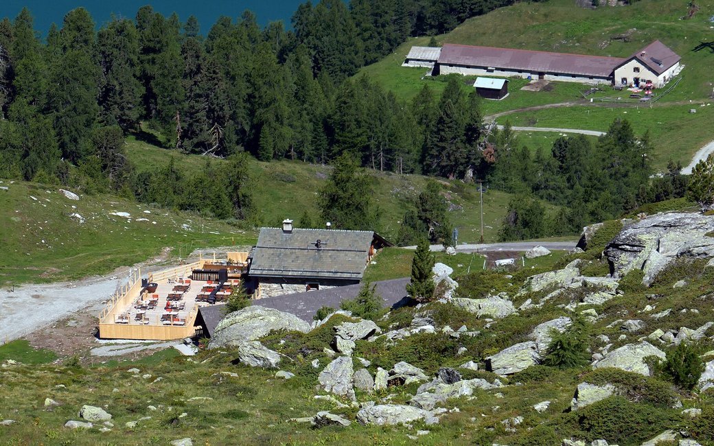
A downhill walk from Murtèl, the Corvatsch middle station, over alpine meadows past the Alpetta restaurant and Alp Surlej, and through the larch forest back to the valley station in Surlej. The board lists 5.9 km, 2 m up and 839 m down, 1 h 50.
Recommended from June to October.
Source: Outdooractive, read on 7 November 2026.
The Corvatsch cable car (Surlej – Murtèl) runs from 21 November to 25 April and from 19 June to 22 October (winter 2026/27 and summer 2027 dates). The walk needs it.
Source: Corvatsch-Diavolezza, read on 9 November 2026.
In winter, 1.8 km of this walk is a ski run (Chastelets, Surlej, Chastelets unten). Expect skiers there while the runs are open, usually from December to April (an estimate).
Read off the map (OpenStreetMap).
Murtèl, the middle station of the Corvatsch cable car, the board’s start
Start: Ride the Corvatsch cable car up from Surlej and start at Murtèl, the middle station, the board’s start.
Route: Leave the station on the mountain path that drops in small switchbacks across the open slope, with Lake Silvaplana and Lake Champfèr below. At the first junction continue left on Via da l’Alp, the gravel track that descends gently to Margun Surlej and the Alpetta restaurant. Carry on down the same track into the larch forest to Alp Surlej, a working alp with a place to eat, then through the forest again down to the valley station of the Corvatsch cable car in Surlej, where the walk ends.
Key turns: Key turns: below the switchbacks left onto Via da l’Alp; then stay on it past Alpetta and Alp Surlej to the valley station.
Take the Corvatsch cable car up from Surlej to Murtèl and walk 5.9 km down to the car park, 839 m down, about two hours. Keep your dog on a lead. No drinking water mapped: bring water. Food at Alpetta and Alp Surlej.
The trail rating above describes the mountain, and it's the same for every dog. How it suits yours depends on their build, age and health. See this route's match — scored for a medium dog until you add your own, free and in a minute.
Before you go: the dog safety guide · water for dogs on trail · dogs on cable cars · meeting a guardian dog
