 ORMA
up the valley to the glacier forefield
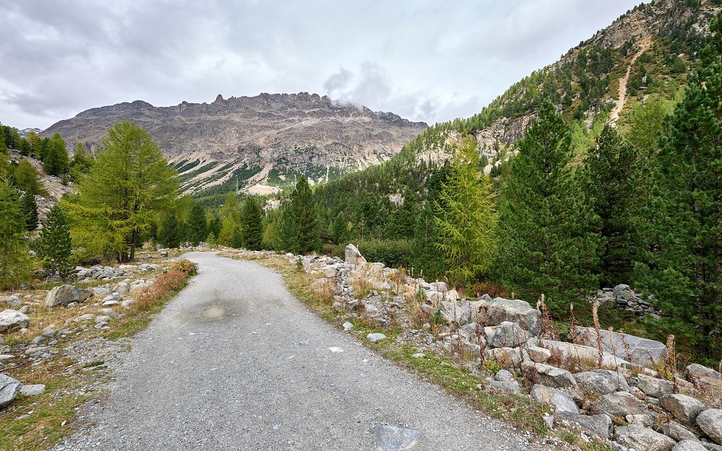
A gentle walk from Morteratsch station up the gravel glacier path to the forefield of the Morteratsch glacier, past 16 posts about its retreat. The board lists 2.9 km, 130 m up, 50 min one way.
Recommended all year.
Source: Outdooractive, read on 7 November 2026.
In winter, 2.9 km of this walk is a cross-country ski track (Via Morteratsch). Expect skiers there while the runs are open, usually from December to April (an estimate).
Read off the map (OpenStreetMap).
Morteratsch station and Hotel Morteratsch, the board’s start
Start at Morteratsch railway station on the Bernina line, beside the Hotel Morteratsch, the board’s start.
Route: Walk south past the hotel onto the wide gravel path into Val Morteratsch. Follow it gently uphill along the valley floor for about 2.9 km, past the 16 information posts that mark where the glacier reached in past years. The route ends at the wooden bridge in the glacier forefield; from there come back down the same path to the station.
Key turns: No turns to make: stay on the wide glacier path from the station to the wooden bridge, then return the same way.
Take the train to Morteratsch: 2.9 km up the valley to the glacier forefield, 130 m up, under an hour, and the same way back. Keep your dog on a lead. No drinking water mapped on the way: bring water. Restaurant at the Hotel Morteratsch.
The trail rating above describes the mountain, and it's the same for every dog. How it suits yours depends on their build, age and health. See this route's match — scored for a medium dog until you add your own, free and in a minute.
Before you go: the dog safety guide · water for dogs on trail · dogs on cable cars · meeting a guardian dog
