 ORMA
the loop from Piani di Vas to the summit of Monte Talm
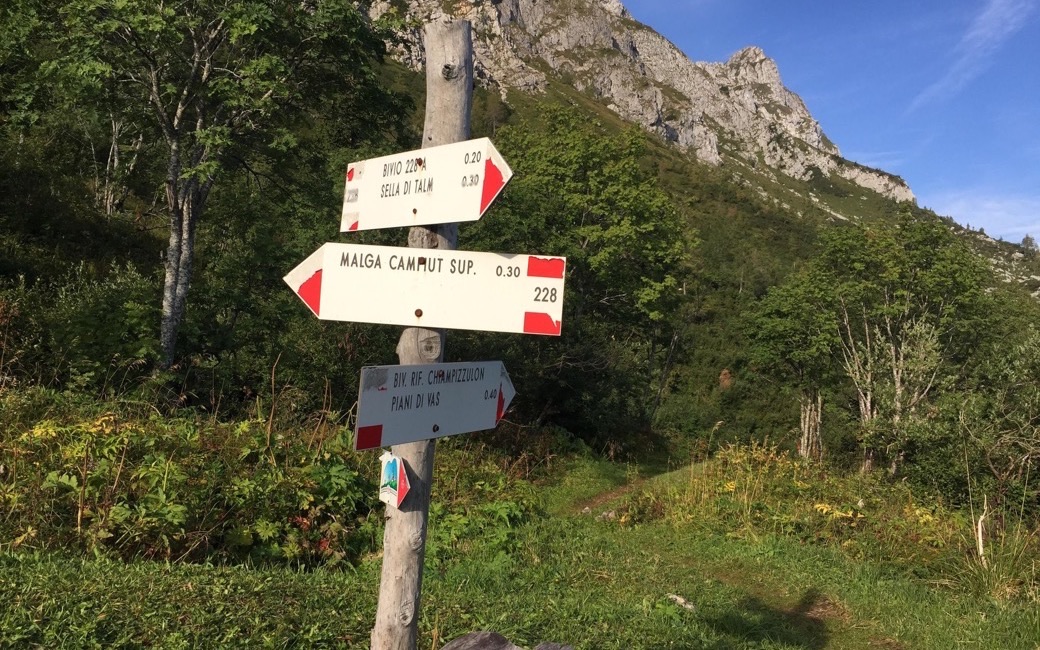
A loop from Piani di Vas past the Rifugio Chiampizzulon to the panoramic summit of Monte Talm above the Val Pesarina, and back down through the summit meadows. PromoTurismoFVG lists 10.6 km and 744 m of ascent.
Snow is likely here from December to April.
Estimated from the walk’s high point (1695 m). No tourist board publishes this walk’s season, and every winter is different.
Piani di Vas car park, the board’s start
Directions: CAI paths 227, 228a, 226a and 226: from the Piani di Vas car park up the forest road towards the Talm saddle, cutting the hairpins on 227 and 228a; from the saddle into the woods on 226a past the private hunters’ hut, with ups and downs, to the grassy ridge and the summit of Monte Talm with its Friendship Bell. Down the southern side on path 226 through the summit meadows and back to Piani di Vas. The climb can be stopped at the Rifugio Chiampizzulon.
From ORMA's route audit of the official route description. Follow the mapped ORMA line and local signs.
Start at the Piani di Vas car park: 10.6 km and about 750 m of climbing, over four hours. Keep your dog on a lead throughout and muzzle a medium or large dog on the Prato Carnico side. There is no water on the loop; the Rifugio Chiampizzulon serves food when open, and the walk can stop there.
The trail rating above describes the mountain, and it's the same for every dog. How it suits yours depends on their build, age and health. See this route's match — scored for a medium dog until you add your own, free and in a minute.
Before you go: the dog safety guide · water for dogs on trail · dogs on cable cars · meeting a guardian dog